


High pressure in the upper levels will begin to rapidly strengthen by Tuesday, bring extreme, record-breaking heat to Texas through at least the middle of the week.
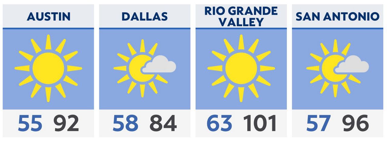
But Monday will see one last period of cool weather for the morning. North Texas will see lows in the 50s with upper 50s and low 60s for central and south-central Texas. Middle-and-upper 60s will be found in south Texas.
Afternoon highs will range from the mid-80s to the upper 90s across the state.
As that ridge of high pressure builds over the central and southern plains regions, dry weather and very hot temperatures will result – more like July or August than mid-May.
We’ll likely meet or exceed high temperature records for many places by Tuesday, Wednesday and Thursday. Highs in north Texas will reach the upper 90s with low 100s to 110s to the south.
Protect yourself and your family from the heat this week. Know the warning signs of heat exhaustion and heat stroke. Stay out of the extreme heat whenever possible.
Click here for the latest 7 Day Forecast | Click here to share your weather photos