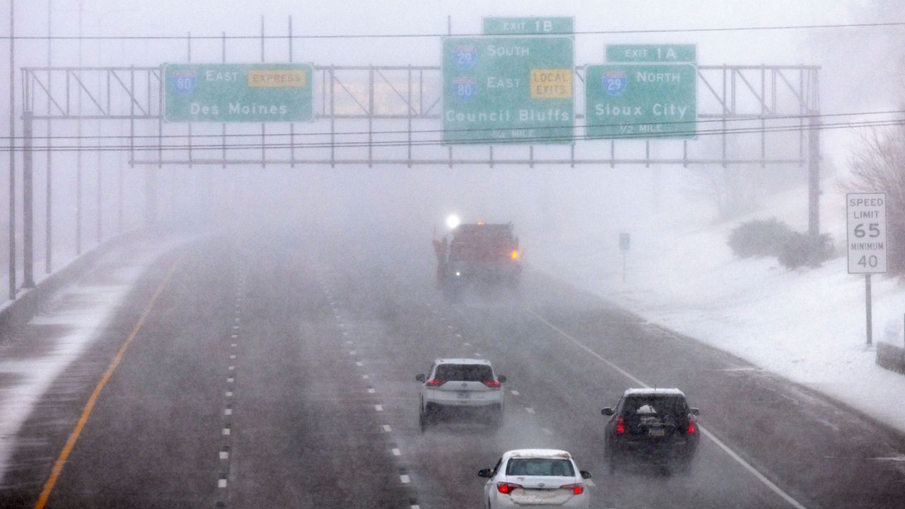
Astronomical spring may be less than a week away on the calender, but the weather says winter isn't over yet. A large and powerful nor'easter rapidly intensified as it tracked up the Eastern Seaboard, bringing major impacts across the Northeast on Tuesday.
Along with strong winds and coastal flooding, this system dumped a significant amount of snow across parts of Maine, with many spots reporting near a foot!
We saw the highest accumulations reported across southwestern Maine, since this is where the heaviest and steadiest snow bands set up. As of Wednesday morning, York County saw the highest totals, where many places measured near or over a foot of snow.
Areas farther to the north received less, where parts of Aroostook County only reported between 1 to 2 inches. Although snow showers today could bring some additional accumulations by the end of the day.
Parts of the state will continue to see some additional flakes during the day on Wednesday, but the bulk of the activity will dissipate by early Wednesday morning.
To see how much snow fell near you, click on the snow icons in the interactive map below.
Our team of meteorologists dives deep into the science of weather and breaks down timely weather data and information. To view more weather and climate stories, check out our weather blogs section.


