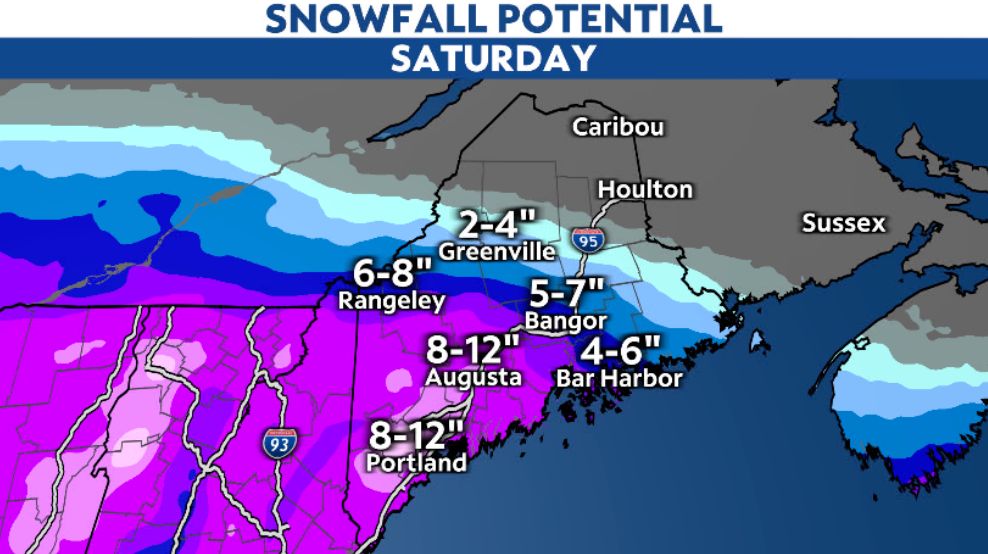
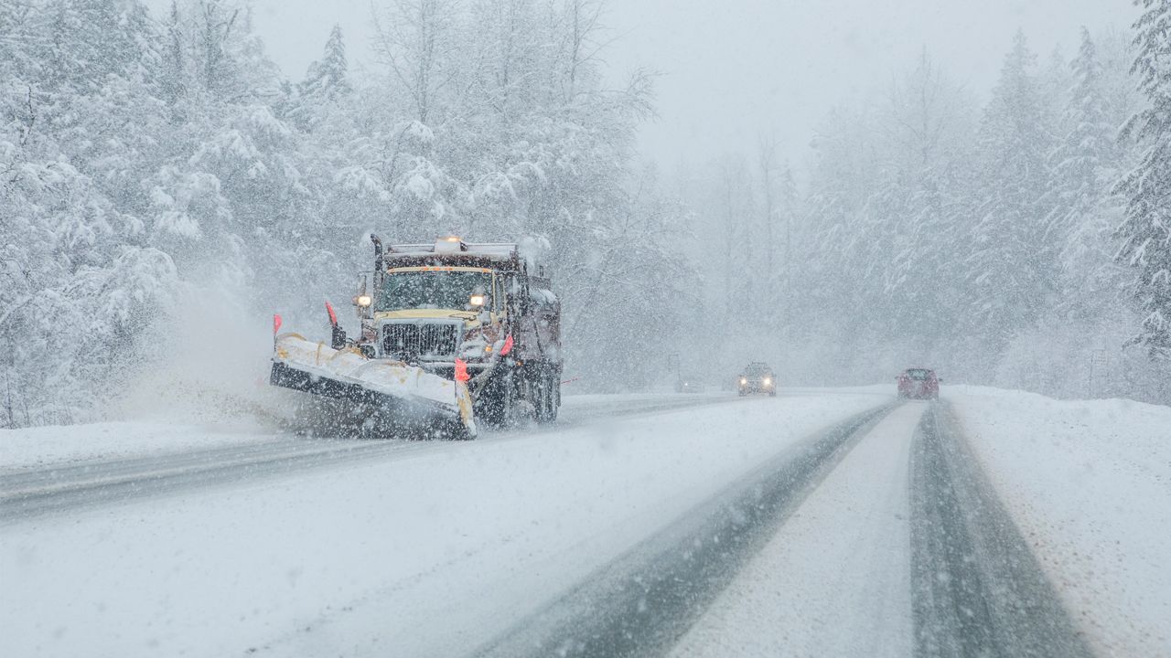
A winter storm will continue to bring heavy snowfall and gusty winds across southern and western Maine through Saturday morning before gradually tapering off during the afternoon.
The heaviest and steadiest snowfall will continue to bring additional accumulations and dangerous travel conditions through Saturday. Although the worst conditions will be during Saturday morning, affecting the southern and western parts of the state the most.
Winter Storm Warnings and Winter Weather Advisories remain in effect through Saturday evening.
Both snow and winds will lessen in intensity farther north and east, where parts of extreme northern Maine will more or less skip out on this event entirely.

Snowfall rates between 1 to 2 inches per hour will lead to quick accumulations. Areas in western Maine, including along the coast, should pick up 6 to 12 inches with locally higher amounts possible. This will be a wet, heavy snow, making it difficult to clear.
Areas farther east and north will deal with lower totals, dropping off to a few inches in central Maine and Downeast. Northern Maine will have no noteworthy snow.
Winds will also be gusty on Saturday, gusting over 35 mph for some. This will add to the tough travel as visibility will be low.
Once we get into the afternoon, snow will start to lighten up. Much of it should be done by evening.
You can send us your snow photos here.
Our team of meteorologists dives deep into the science of weather and breaks down timely weather data and information. To view more weather and climate stories, check out our weather blogs section.


