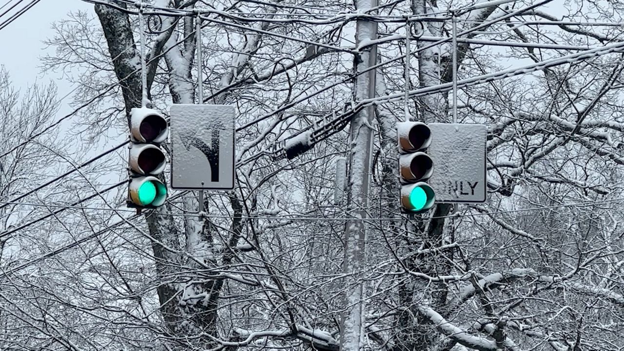
Maine has had relatively little snow this winter, particularly in the northern areas, but meteorologists at the National Weather Service say not to put away the shovels just yet.
A new weather pattern is already bringing more seasonable amounts of snow to the Pine Tree State this week, and all indications are that the pattern is here to stay.
“That’s usually a favorable track for mostly snow for us, so all signals point to precipitation running above normal into the middle of the month, and there’s enough cold air nearby that could be looking at multiple accumulating snow events beyond this upcoming weekend,” said Derek Schroeter, a meteorologist with the National Weather Service in Gray.
December and January were abnormally quiet in terms of winter storms. Schroeter said Portland alone usually has 15.6 more inches of snow at this point in the season.
“If you look further north into the mountains, snowfall deficits are approaching two feet, so we’ve been below normal snowfall, and that’s largely been driven by just the lack of storms,” he said.
The reason is an unusual weather pattern that has pushed winter storms farther south. Schroeter said this is what led to headline-grabbing stories of heavy snow striking the Gulf Coast, Louisiana, North Carolina, Florida and other parts of the south that rarely see any snow at all.
But Schroeter said patterns have shifted, with storms moving northward, and the weather this week is proof. A snow event Sunday night into Monday will be followed by another storm striking Wednesday night, he said, and still more snow is expected over the weekend.
Schroeter said that pattern of a weather event every few days is more common in the wintertime. It’s likely, he said, that snowfall totals are about to go up statewide.
“I see the pattern that we’re going into is probably going to help average out this deficit,” he said.
Schroeter said he didn’t think the new pattern will be enough right away to erase the deficit, but added, “We’ll put a dent in it.”


