As of early Christmas morning, fewer than 100,000 homes across the state were with out power.
Central Maine Power reports about 66,000 of its customers are impacted. Versant reports fewer than 26,000 outages.
Across the six New England states, more than 273,000 customers remained without power on Saturday, with Maine the hardest hit. Some utilities said electricity may not be restored for days.
The Spectrum Weather team says conditions will stay on the cold and breezy side for Christmas Day, but most of Maine will stay dry under partly cloudy skies for those traveling to celebrate the holiday with loved ones.
So no wintry weather for Christmas, but still cold.
------
On Friday, Gov. Janet Mills urged Maine residents to continue to exercise caution.
“With power outages mounting, flooding and strong winds occurring, and a drop in temperatures expected tonight, I urge Maine people to take every precaution to protect themselves and their families, especially when traveling. Please avoid areas that are experiencing flooding and give utility crews, emergency first responders, and other storm response crews plenty of room to work," Mills said, urging people to avoid contacting downed powerlines and to report them to proper utility company.
“Warming centers are also opening across the state. If you need non-emergency assistance, 211 Maine is available to help with a spectrum of services by dial 2-1-1 on your phone, texting your zip code to 898-211, or visiting www.211maine.org. If you are experiencing an emergency, call 9-1-1,” Mills said.
Maine warming stations are listed at https://www.maine.gov/mema/response-recovery/mass-care.
Spectrum Weather reports that strong winds with gusts up to 50 mph would be powerful enough to cause damage and knock out electricity. Some gusts were expected to react 60-70 mph.
As of 3:30 p.m. Friday, more than 165,000 customers in Maine were without power.
Central Maine Power reported nearly 155,000 outages. Cumberland County had the most outages at just under 55,000, followed by York County with just over 35,000.
There are currently about 33,000 power outages in York County. We're working closely with our partners at @cmpco who are in the field responding to priority areas.
— York County EMA (@YorkCountyEMA) December 23, 2022
Follow these tips to stay as safe and comfortable during power outages#YorkCountyME #Elliott #poweroutage #safety pic.twitter.com/bxa91IXcgn
Farther north and Downeast, Versant Power had reported more than 13,000 customers without power.
Portland International Jetport lost power Friday for a few hours causing some flights to be diverted.
FLOOD THREAT SUBSIDES
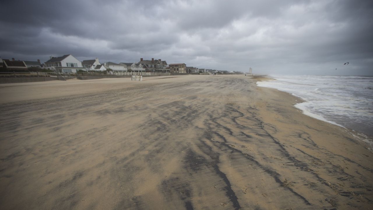
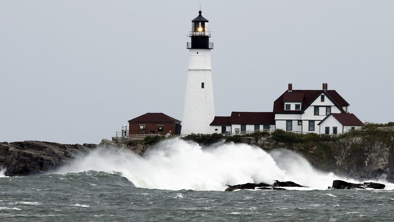
Flooding was expected in coastal areas. Portland was at risk of 1-3 feet of flooding.
However, Michael Durkin, director of the Cumberland County Emergency Management Agency, said as of 11:30 a.m. the only major coastal flooding he had heard of was near the Portland pier area. Risks of coastal flooding should lessen today, Durkin said, as high tide was reported around 10 a.m.
"That's our peak flood, and we're starting to move away from that," he said.
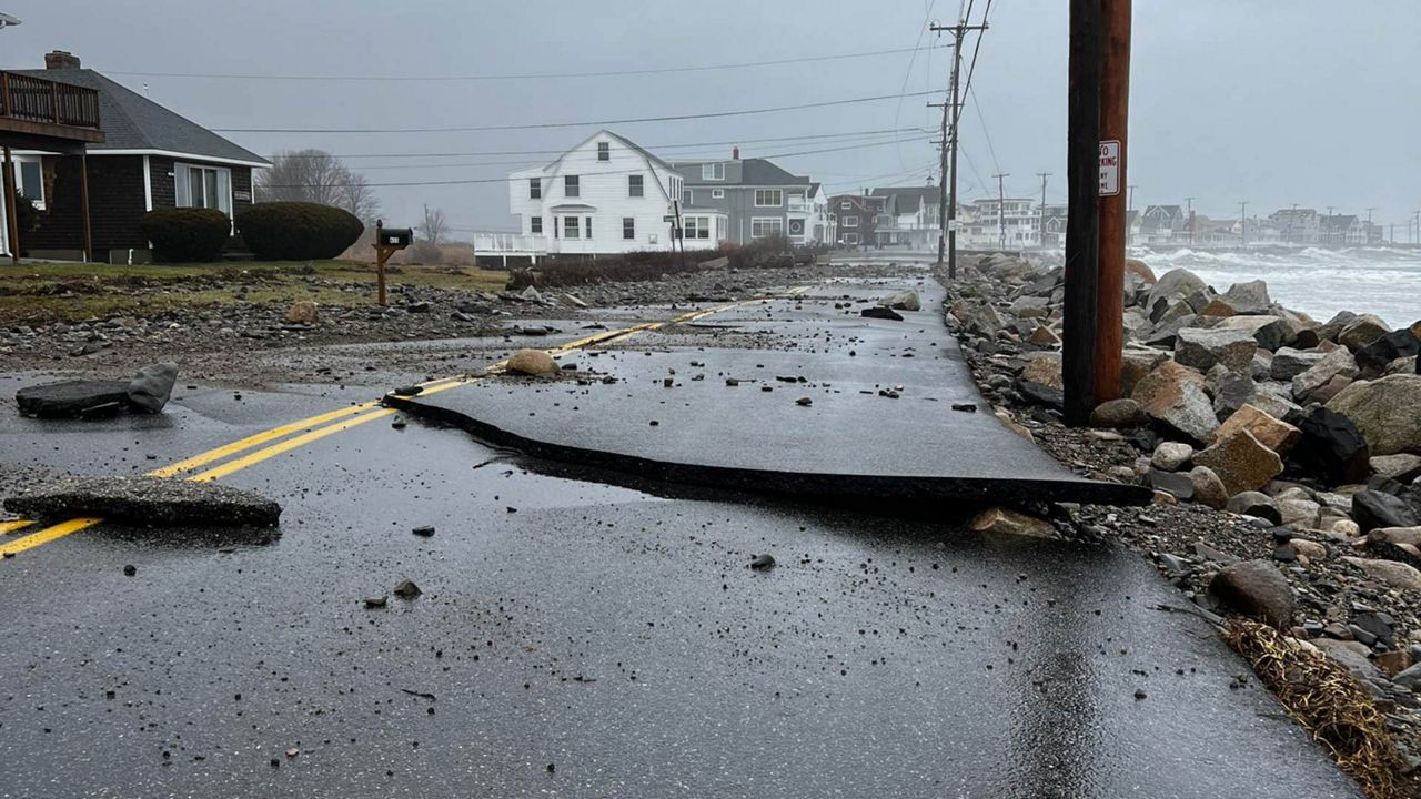
In York County, residents in the area of Camp Ellis in Saco and Wells reported abnormally high tides, according to Art Cleaves, director of the York County Emergency Management Agency.
"Some of the locals say this is akin to the worst tidal surges they've seen," he said. "THere is significant damage along the coast."
Durkin reported some road closures due to flooding, including the area of the intersection of Westbrook and Congress streets in Portland. He also noted flooding reported on New Gloucester Road heading into Gray, and Sebago Lake Road in Standish. There was no word, he said, on whether the roads had been declared impassible, but he urged drivers to take care and use good judgment.
"As a general rule, we urge drivers to never enter flood waters, even if they believe them to be 'not too deep,'" he said. "They're often deeper and stronger than they appear."
 (1))
The storm comes on the heels of a nor’easter last weekend which knocked out power to thousands of customers statewide.
One final band of snow showers is possible as cold air barrels in late this evening and overnight. Wet roads and sidewalks will likely turn icy as temperatures quickly fall below freezing. Cleaves said the cold will freeze over flooded roadways and hamper power restoration efforts.
"I expect it's going to be several days," he said of the cleanup.
Durkin said the real danger will be to people who have no heat source due to power outages. The agency keeps an updated list of local warming centers on its website, accessible here. Cleaves said his department will also list local warming centers, both on its website and Facebook apge.
Spectrum Weather warned that more snow was possible tonight, and that roads and sidewalks would be icy as temperatures plummet.
This story may be updated.


