


The warming trend peaked today with highs around the upper 80s and low 90s.
A few isolated showers will move toward the region later this evening, but most activity should taper off before arriving in Worcester. If anything, a quick, isolated shower or two is possible this evening.
Lows fall back into the mid-60s tonight.
Severe storms are possible around Massachusetts Tuesday. There is a level 2/5 threat for gusty winds and hail within storms.
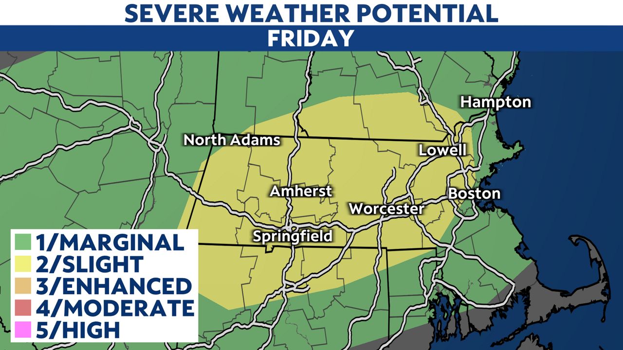
It warms up into the low 80s Friday with dry weather early before unsettled conditions return. Scattered showers and storms will develop Friday afternoon and evening with the severe potential.

The forecast will remain unsettled into the weekend. Expect more shower and storm chances as a series of fronts passes New England with cooler temperatures by this weekend.
 |
Partly cloudy Low: Mid-60s; Winds: Northwest at 5 to 10 mph High: Mid-80s; Winds: North 5 to 10 mph |
Hour-by-hour forecast | Share your weather photos | Enable weather notifications | Radar