
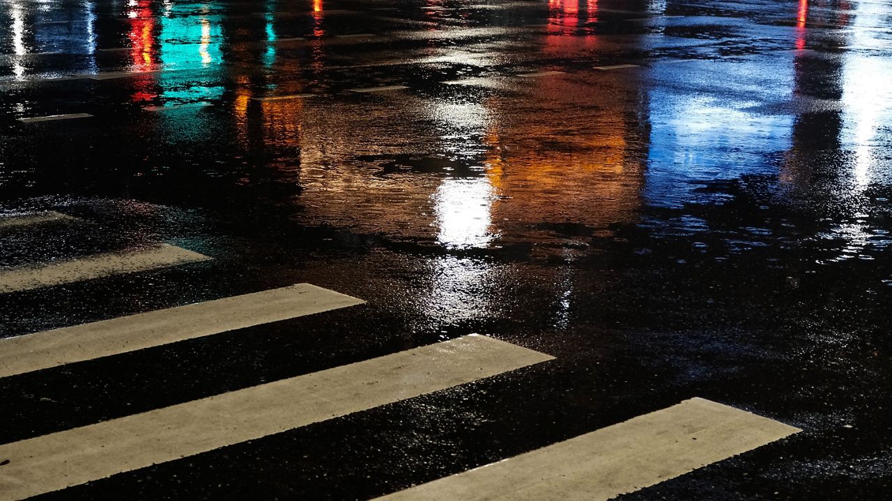
A weather system will approach the region overnight, bringing rain and a few thunderstorms. While no severe weather is expected, a few heavier showers are possible. Lows will be in the upper 60s with areas of fog.
The morning commute looks to be a wet one as the low moves over the area. Showers and a few storms will continue throughout the day, becoming lighter and more widely scattered in the afternoon. Under the clouds and wet weather, temperatures will struggle to reach 80 degrees.
We dry out tomorrow night as the low departs to our northeast, but clouds linger. Temperatures will be in the upper 60s as fog develops.
The low continues to move gradually away from the region on Saturday, but skies will stay mostly cloudy.With humid conditions and instability in place thanks to the proximity to the low, a few afternoon pop-up showers and storms will be possible. No severe weather is expected, and temperatures will be in the low to mid-80s.
Drier conditions look to prevail on Father’s Day as the low is finally far enough away. Under partly cloudy skies, temperatures will climb into the upper 80s.
 |
Scattered showers and storms Low: Near 70; Winds: Southeast at 5 mph High: Upper 70s; Winds: Southeast at 5 to 10 mph Hour-by-hour forecast | Share your weather photos | Turn on weather notifications | Radar |