


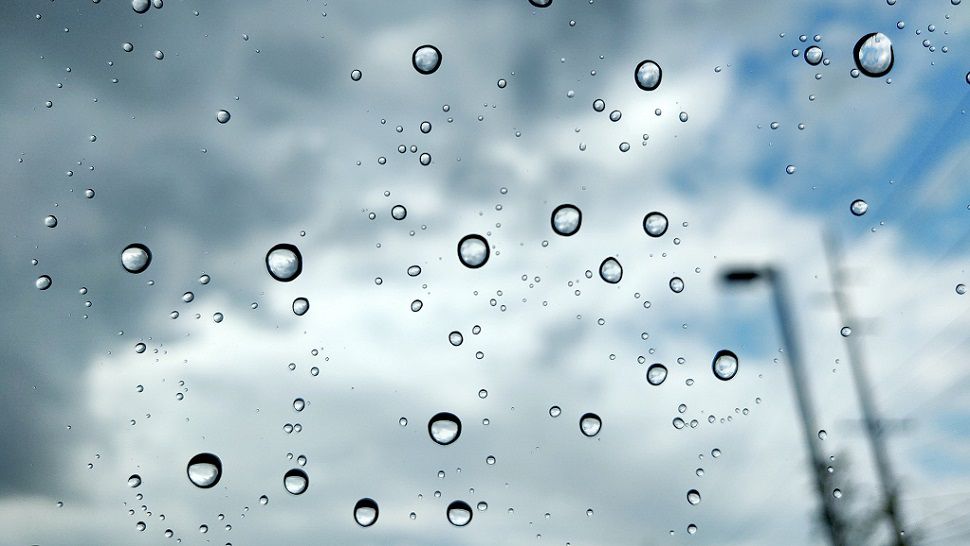
We picked up anywhere between 1/10th of an inch to a whopping five inches out to the west over the weekend. Nice! While a few showers linger in the picture today, the overall chance for showers drops to 30% as we start the week and will taper even more tomorrow. The forecast calls for highs in the low to mid 90s for a few days then upper 90s return.
Current Conditions | Satellite & Radar | Travel Maps
7 Day Forecast | Allergy
Over the weekend, the Austin Metro rain total topped out only at .32" with the Airport reporting .61". Rain totals were heaviest in the Hill Country:
5.13" Bertram
3.77" Burnet
3.61" Marble Falls
3.57" Spicewood
3.16" Josh Ridge Parkway
3.04" Mansfield Dam
2.74" Lakeway
2.63" Pflugerville
2.26" Bastrop
2.19" Lago Vista
Check out the LCRA Hydromet for more.
An area of high pressure will move from the Gulf of Mexico towards Texas, effectively stabilizing and cutting off the chance for showers at least for now.
Computer models show a stretch of bright, dry days ahead with temps near the normals of 75 in the morning and 98 in the afternoon.
Another pattern shift could bring rain back to the Lone Star State by the middle of next week. At least one of our long range models shows another summer front in the mix, too, maybe by the end of next week.
Join us on 'Weather on the 1s' for a look at rain totals and the long range forecast. You can find us on Spectrum channel 8 or via the live stream.
WEATHER ON THE GO: Download the Spectrum News app and watch our live stream no matter where you are!
GET WEATHER ALERTS: Sign up to receive weather text alerts from the Spectrum News Weather Team
Keep cool!