


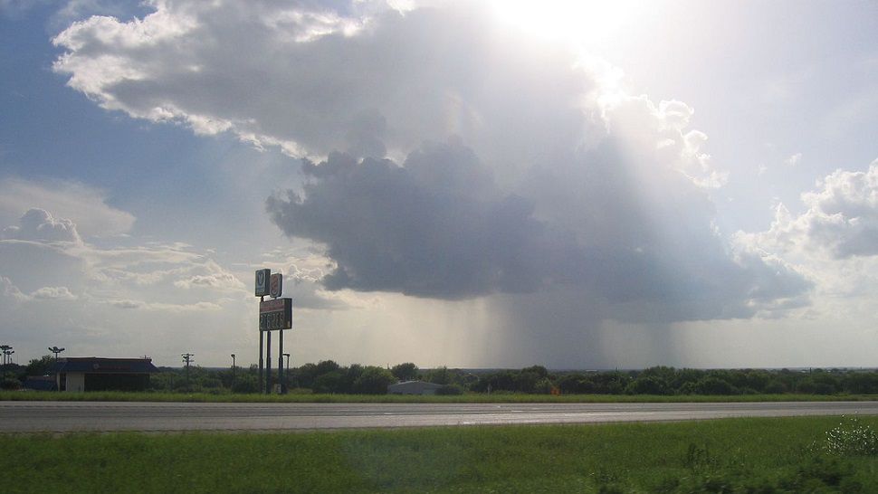
What a good dose of rainfall! Just what the doctor ordered, right? A total of 1.77" made yesterday the wettest day since May 4th in the Capital City, and we might add on a few more showers today before weather more typical of the season returns. Today's forecast calls for a 20% rain chance with highs back up into the low 90s.
Current Conditions | Satellite & Radar | Travel Maps
7 Day Forecast | Allergy
Drier air from the east is starting to arrive and will help to dehumidify at least parts of the upper atmosphere, leaving our region less prime for rain and with plenty of warming sunshine for the days ahead.
That said, there's some rain out there this morning to the north and west, and our in-house Futurecast model shows a few isolated, hit-or-miss showers coming up towards Austin from the coast this afternoon. We don't think it'll amount to much.
For the second morning in a row, computer models insist there will be some rain breaking out on Thursday, too, yet our confidence in this scenario is low. It'll be a better shot for rain north and east across the state.
As the soil moisture gradually dries out again by the weekend, temps will likely get back into the upper 90s once again. Strong southerly winds are predicted to move in both Saturday and Sunday, then we're going to watch for a new upper-air disturbance to take shape and possibly make it up from the Gulf of Mexico to the Texas coastline to start out next week. For now, there's no mention of rain here at home but we'll certainly keep an eye on it.
Join us on 'Weather on the 1s' today on TV or the live stream to hear more about the Saharan dust we see invading the Lone Star State.
WEATHER ON THE GO: Download the Spectrum News app and watch our live stream no matter where you are!
GET WEATHER ALERTS: Sign up to receive weather text alerts from the Spectrum News Weather Team
Enjoy the weather!
--Chief Meteorologist Burton Fitzsimmons (@Burton_Spectrum)