


An area of low pressure will slide over the coast today, bringing unwelcomed showers and storms to the Carolina. This disturbance has the potential to become a tropical depression later today according to the National Hurricane Center. Regardless its impact will be the same; a few waves of showers and storms late this afternoon and lasting through the evening. Rain may be heavy at times. The best coverage of rain will fall along and east of I-95.
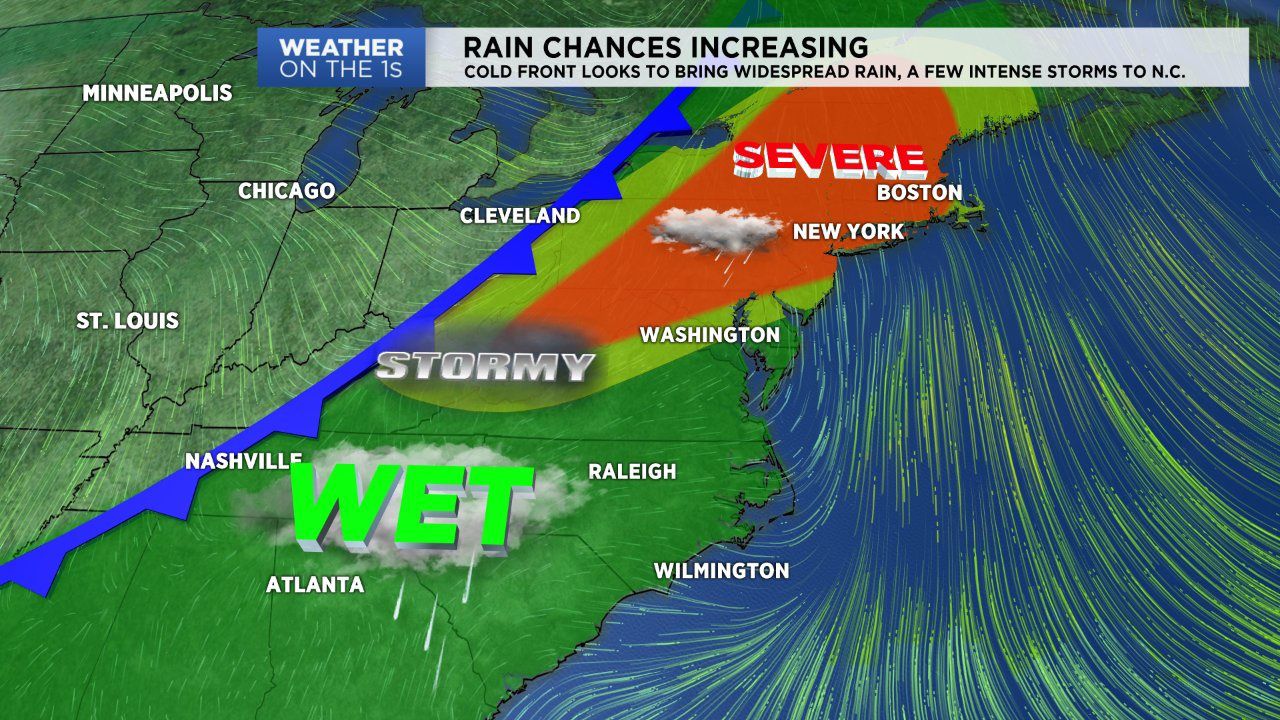
The low will shift north and east tonight going in to Wednesday morning. We’ll have a break in activity until another round of rain arrives Wednesday evening .This round is all due to a powerful cold front that will move in and stall over the area late Wednesday into Thursday. Expect showers and storms Wednesday, Thursday and Friday. The best chance for severe storms will be well to our north. But we may deal with heavy rain at times and a few disruptive storms. We’ll be watching closely!
Behind the front we’ll setting into some fair weather just in time for the weekend. Yes the front will be slow to get out of here but skies look to clear gradually though the day Saturday and Sunday looks to be a bright, mostly sunny day. Temperatures won’t be that bad behind the front, peaking in the low 80s Saturday and Sunday afternoon.