


On Tuesday, heat and humidity lead to a few scattered showers and thunderstorms. During the evening, we are expecting a few more showers and storms.
Through the night, any chance for showers and storms will end as the atmosphere cools and becomes more stable.
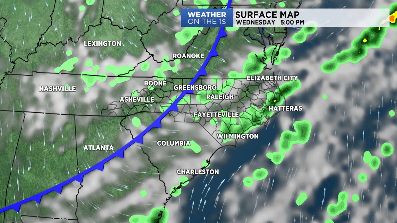
A cold front will move through North Carolina on Wednesday. This system will trigger a few more showers and thunderstorms.
With the passage of the front, high pressure will build back into the region for the end of the week. This will set the stage for sunshine and comfortable temperatures for Thursday and Friday. The nice weather will continue into the upcoming weekend with only a very slight chance for a few afternoon showers and storms on Saturday and Sunday.
We'll see hotter highs by early next week.
In the tropics, tropical system development is not expected for the next 3 to 5 days.