


After seeing numerous showers and storms late Sunday night and early Monday, more showers and storms developed on Monday afternoon.
Heavy rain Sunday night and Monday morning led to localized flooding over parts of central North Carolina and we could see more heavy rain both tonight and Tuesday. The moist air mass over the state will continue to help support showers and thunderstorms for the next few days.
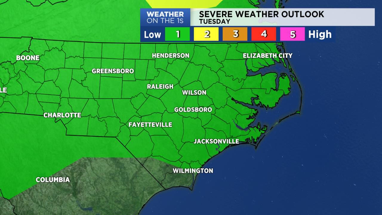
An approaching cold front will trigger a better chance for showers and storms on Tuesday. And on Tuesday, there is a chance that storms could produce strong winds and dangerous cloud to ground lightning.
On Wednesday, the front may be lingering across the area. This will give the region another chance for scattered showers and storms for mid-week. After that, we should see a dry forecast for the end of the week.
In the tropics, all is quiet across the Atlantic Basin.
Watch Spectrum News for your latest local forecast.