


A cold front settling south through Virginia into northern North Carolina will possibly reach central sections of the state and stall. This will provide a focal point for thunderstorms for northern sections through the overnight hours possibly into Monday morning. A few storms that develop could produce localized heavy rain and gusty winds.
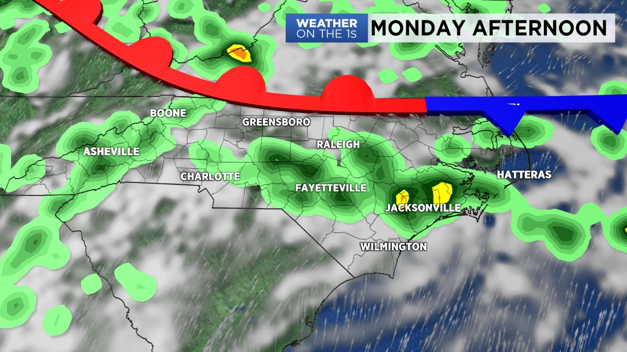
The front will lift north out of the state late Monday as a warm front and will provide forcing for another round of storms Monday afternoon and evening. As this front moves away another cold front approach from the west. This front will likely be stronger and allow for more intense storms for the Tar Heel State late Tuesday. The Storm Prediction Center has already placed much of North Carolina under a marginal (low) severe weather threat Tuesday afternoon and evening.
After Tuesday the front will slide east and stall over the coast. Dry air will flow in behind the front so Thursday, Friday and the weekend will feature below normal temperatures in the mid 80s. Rain chances will be cut significantly but not completely out of the forecast due to the front being over the coast and likely developing a few storms for eastern North Carolina.