


Showers and storms that first blossomed on radar this morning will continue to linger across portions of eastern North Carolina this evening. After sunset most if not all of the rain will be out of here. Conditions tonight and overnight will be comfortable with partly cloudy to mostly clear skies. Lows overnight will rest in the low to mid 70s.
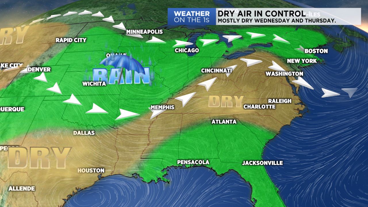
High pressure and more dry air will fall in to the Carolinas Wednesday. With drier air, expect more sunshine and hotter temperatures. Highs Wednesday will range from the upper 80s to low 90s. Thursday will mirror Wednesday in a lot of ways, but likely a touch warmer with more areas in the low 90s. A few coastal showers and storms cannot be ruled out Thursday thanks to a southerly wind flow bringing in more moisture to the state.
Our next storm system arrives as we close out the workweek and head into the weekend. A cold front will look to sweep through the state Saturday bringing the likely return of scattered afternoon storms to our forecast Friday, Saturday and Sunday. So enjoy this brief pause in the rain over the next few days because rain looks set to return for the weekend.