


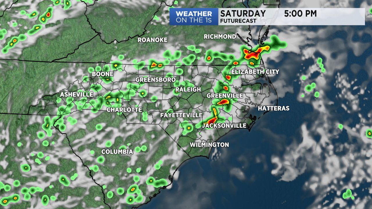
Active weather continues to impact North Carolina Saturday due to a near stationary front drapped across the region. Heating through the day will help the development of scattered storms through Saturday afternoon and evening. Dew points are once again in the 70s, showing a high amount of moisture remains in our area. Due to the high moisture available, any storm that does develop will have the potential to produce locally heavy rain. So moving through the afternoon, expect temperatures in the upper 80s to low 90s for afternoon highs. The humidity may make it feel like the mid 90s to low 100s. Storms will linger across portions of central and eastern North Carolina through the evening and some quite possibly into the late night hours. Intense to severe-warned storms will be possible. The biggest concern with any severe storm will be flash flooding from heavy rainfall and damaging winds.
We'll see some movement with the front Sunday, but not enough to make any huge changes with the forecast. Sunday's weather will mirror Saturday's in many ways. A mostly dry, warm morning followed by a sultry and stormy afternoon. It's not until Tuesday do we see the front move east and high pressure build in, squashing our rain chances Tuesday through Thursday.