


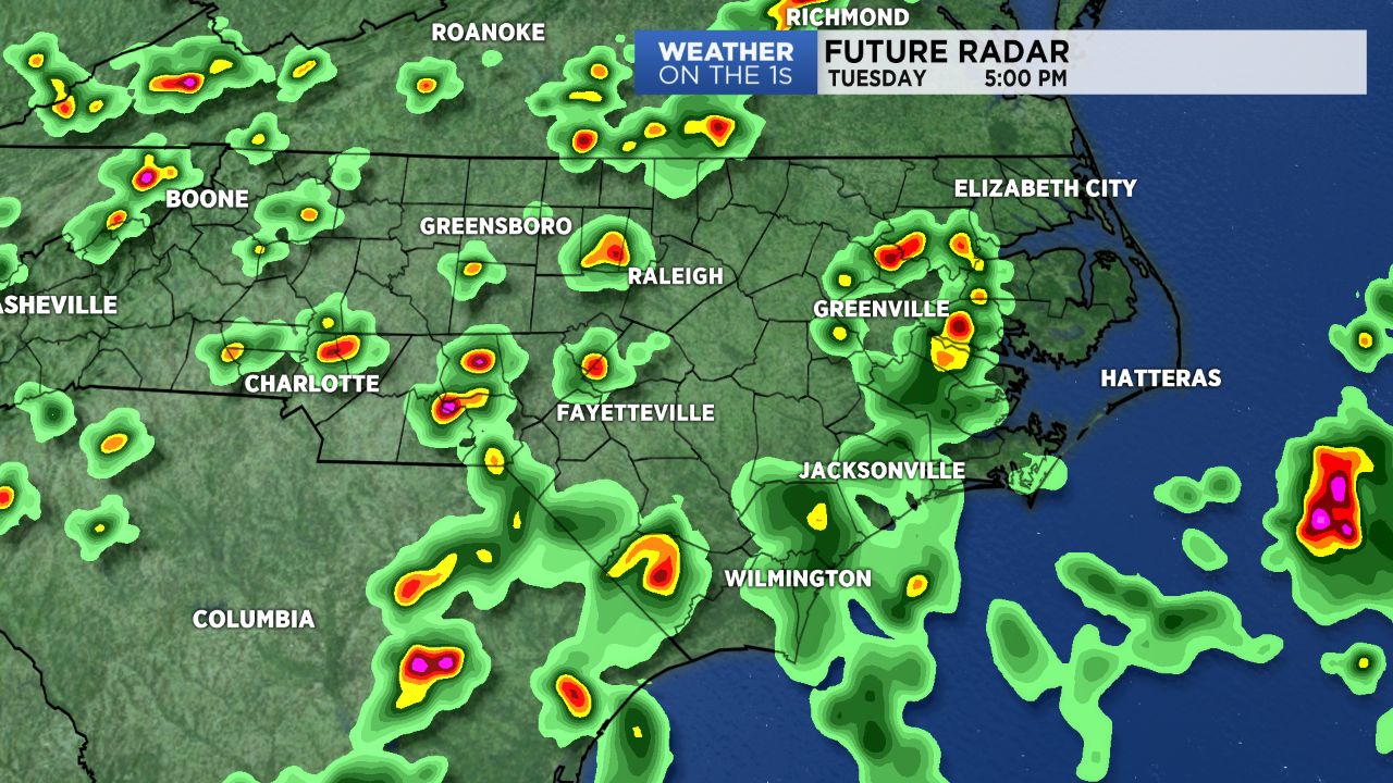
Keep an eye on radar Tuesday. Scattered storms will likely develop in the afternoon and evening hours ahead of a cold front moving into North Carolina.
- Interactive radar
- 7-day forecast
- Share your weather photos with Meteorologist Lee Ringer on Facebook
Fueled by the heat and humidity of the day, some of the storms may produce locally heavy downpours and frequent lightning. Highs will warm to the low 90s ahead of the storms forming in the afternoon.
Some of the storms could linger well into the evening before coming to an end overnight.
As the cold front continues to move to the south, rain chances for Wednesday are mainly expected near the coast and across parts of South Carolina.
The front will not bring much cooler air to the region, but it will prevent extreme heat from building into North Carolina this week. Highs in the upper 80s are forecast from Wednesday through the rest of the week.
The chance for scattered afternoon storms will return over the weekend.
Get the latest news, sports and weather delivered straight to your inbox. Click here to sign up for email and text alerts.