


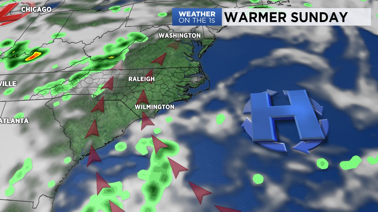
An area of high pressure to our north made for quiet weather Saturday.
- Temperatures expected to rise Sunday
- No chance of rain for most areas
- Storms possible Monday afternoon
This area of high pressure will shift to our east Sunday giving us a more southerly flow across the region and pushing afternoon temperatures up a few degrees. Look for highs Sunday in the low 90s for most of us with no chance for rain.
Changes are in the making as we head into the work week. In advance of an approaching cold front we’ll see isolated storms Monday afternoon, then storms become more numerous Tuesday and Wednesday.
The front is expected stall just to our south on Thursday, then lift north back through North Carolina early Friday. This will keep us in an unsettled weather pattern through the end of the week and into next weekend.
Out in the tropics what was once Hurricane Beryl has reformed into a tropical storm over the Atlantic north of Bermuda. Current forecast has the storm heading northeast into the colder waters of the North Atlantic.
Get the latest news, sports and weather delivered straight to your inbox. Click here to sign up for email and text alerts.