


Once the low clouds burned off Wednesday there was enough sunshine to push temperatures into the low to mid 70s. An even warmer day is in the forecast for Thursday!
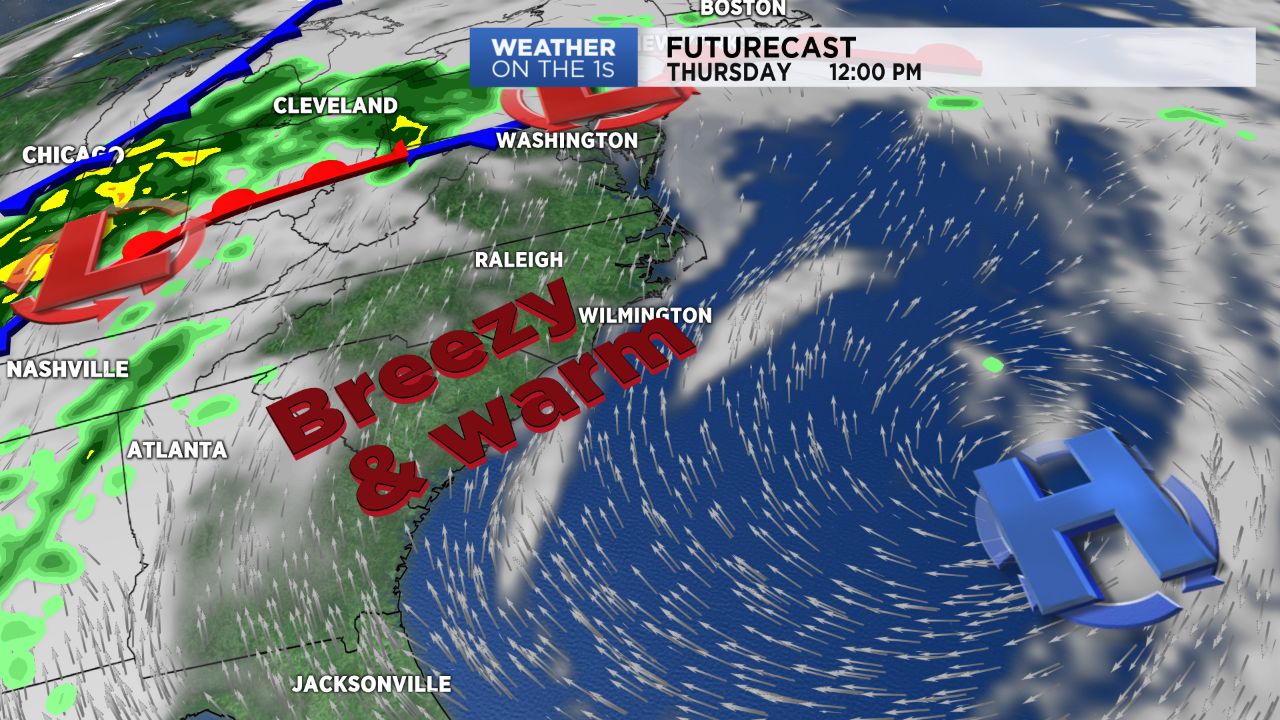
Dry weather and partly cloudy skies are expected for Thursday along with a gusty south to southwest wind. Afternoon highs will climb into the upper 70s to low 80s across central North Carolina.
Wet weather will return Friday as a cold front moves across the state. It now appears that front will bring showers to the Triangle and Sandhills Friday morning. While some thunder is possible, the early timing of the showers should limit the threat for strong storms Friday. There will be a somewhat higher chance for storms Friday afternoon east of I-95 and near the coast.
The cold front moves off the coast quickly so Easter weekend is shaping up to be dry with plenty of sunshine. Weekend lows will be in the 40s with highs in the 60s and 70s.