


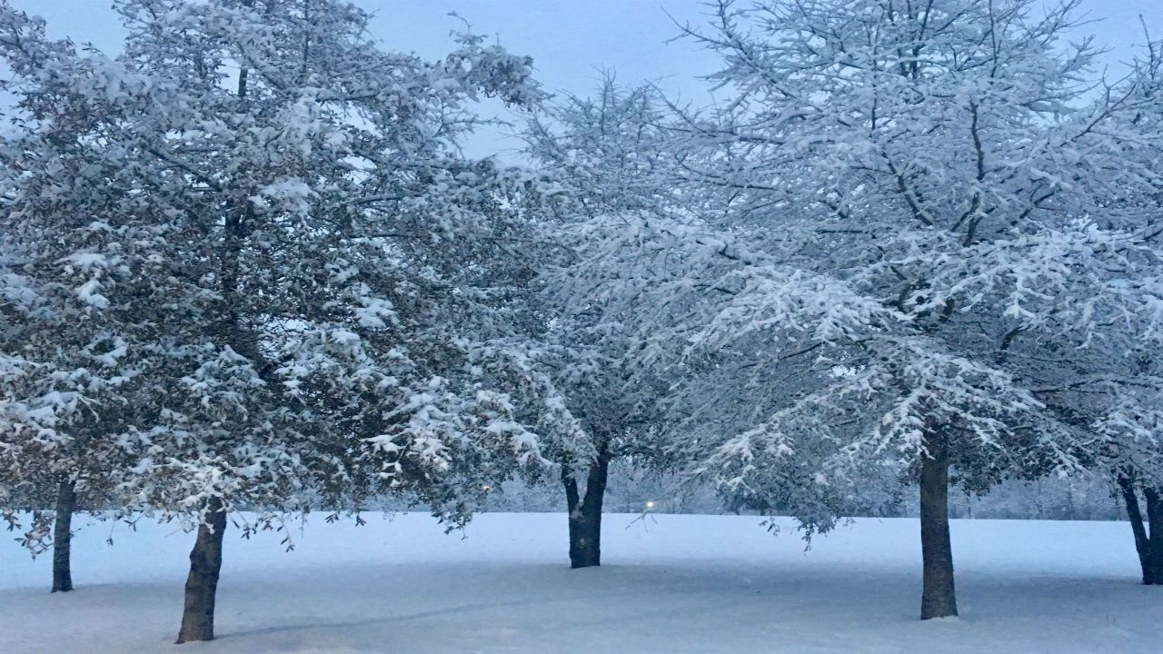
Wednesday's winter storm out performed its expectations across much of the Triangle, but under performed for snow lovers in the Fayetteville area.
The storm strengthened more than expected producing up to a foot of snow just north of Durham.
However, the stronger system also brought in slightly warmer air to locations from Fayetteville to Goldsboro keeping Wednesday's precipitation in those areas as rain much longer than expected.
Here's a look at the snow totals from around the central North Carolina --
- Bahama: 12.0"
- Carrboro: 11.0"
- Hillsborough: 10.5"
- Durham: 9.5"
- Henderson: 7.0"
- Pinehurst: 7.0"
- Cary: 6.5"
- Fuquay-Varina: 6.0"
- Raleigh - Durham Airport: 5.9"
- Sanford: 5.5"
- Buies Creek: 4.0"
- Clayton: 4.0"
- Smithfield: 1.0"
- Fort Bragg: 0.5"
- Goldsboro: 0.2"
- Fayetteville: 0.2"
The melting process begins Thursday thanks to plenty of sunshine and temperatures that will climb above freezing around midday.
For locations in the Triangle with a great deal of snow on the ground, most of the sun's energy will go into the melting process instead of warming the air. Highs will struggle to warm to the upper 30s in these locations. From Fayetteville to Goldsboro, highs should top out closer to 40 and the low 40s.
Even though melting will take place through Thursday afternoon, there will still be snow left for locations that saw six to twelve inches of snow. Icy road conditions are likely for untreated roads in these locations Thursday night into Friday morning. Lows will drop to the low and mid 20s.
A warming trend will begin Friday afternoon as highs top out in the low to mid 50s. Saturday will bring the mid to upper 50s. The low 60s are expected by Sunday.
Early next week should be even warmer. Highs in the mid 60s are forecast for Monday.
Our next chance for precipitation will come late Monday night into early Tuesday morning when rain showers will pass through the area.
Get the latest news, sports and weather delivered straight to your inbox. Click here to sign up for email and text alerts.