


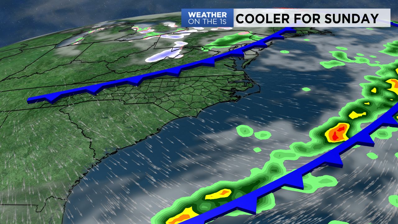
A cold front will pass through North Carolina this weekend bringing showers for Saturday and then another push of cooler air for Sunday and early next week.
Clear skies will give way to increasing clouds overnight. It will not be quite as chilly with the clouds acting like a blanket, so look for lows dropping into the upper 50s to near 60.
The cold front will move through the state Saturday bringing showers to central North Carolina off and on from the morning through early afternoon. Less than a quarter of an inch of rain is expected. Highs will still warm to the upper 60s to the mid 70s.
Autumn chill returns Saturday night as skies clear lows will drop to the 40s for Sunday morning. Despite all day sunshine Sunday, highs will only warm to the 50s.
Temperatures will then drop to the mid and upper 30s over much of the region late Sunday night. That could bring the first patchy light frost to some neighborhoods by sunrise Monday.
Get the latest news, sports and weather delivered straight to your inbox. Click here to sign up for email and text alerts.