


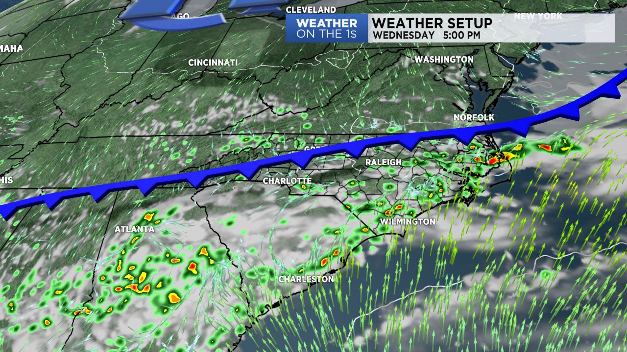
A cold front is pushing into the region from the north today. As that front interacts with the warm and humid airmass we have in place, scattered showers and storms will develop. There is a little better chance that a few of the storms could produce some hail and damaging winds today, so be weather aware this afternoon and evening. Highs will top out in the mid 80s.
- Scattered storms possible for Wednesday.
- Drier air mass will be in place for Thursday.
- High chance for rain in storms during holiday weekend.
Behind the front, a northeasterly flow will be in place for Thursday. That northeast flow will usher in a drier airmass, and accordingly, a dry forecast for Thursday with highs in the low to mid 80s. I think many of us could remain dry for Friday as well.
We continue to monitor a disorganized area of showers and storms in the Caribbean Sea, and there is some chance this will develop into a weak tropical system over the Gulf of Mexico. However, whether or not it becomes a classified tropical system is fairly irrelevant for our area. The system will pull in deep tropical moisture for much of the Southeast, and the result will then be good chances for rain and storms as we progress deeper into the holiday weekend.