


We had a good amount of showers and storms Monday afternoon and evening around the region. A few of those storms were pretty intense with some scattered reports of wind damage and hail.
- Afternoon temperatures will be in the mid-80s.
- The afternoon could also feature a few storms.
- Drier air will take hold for Thursday.
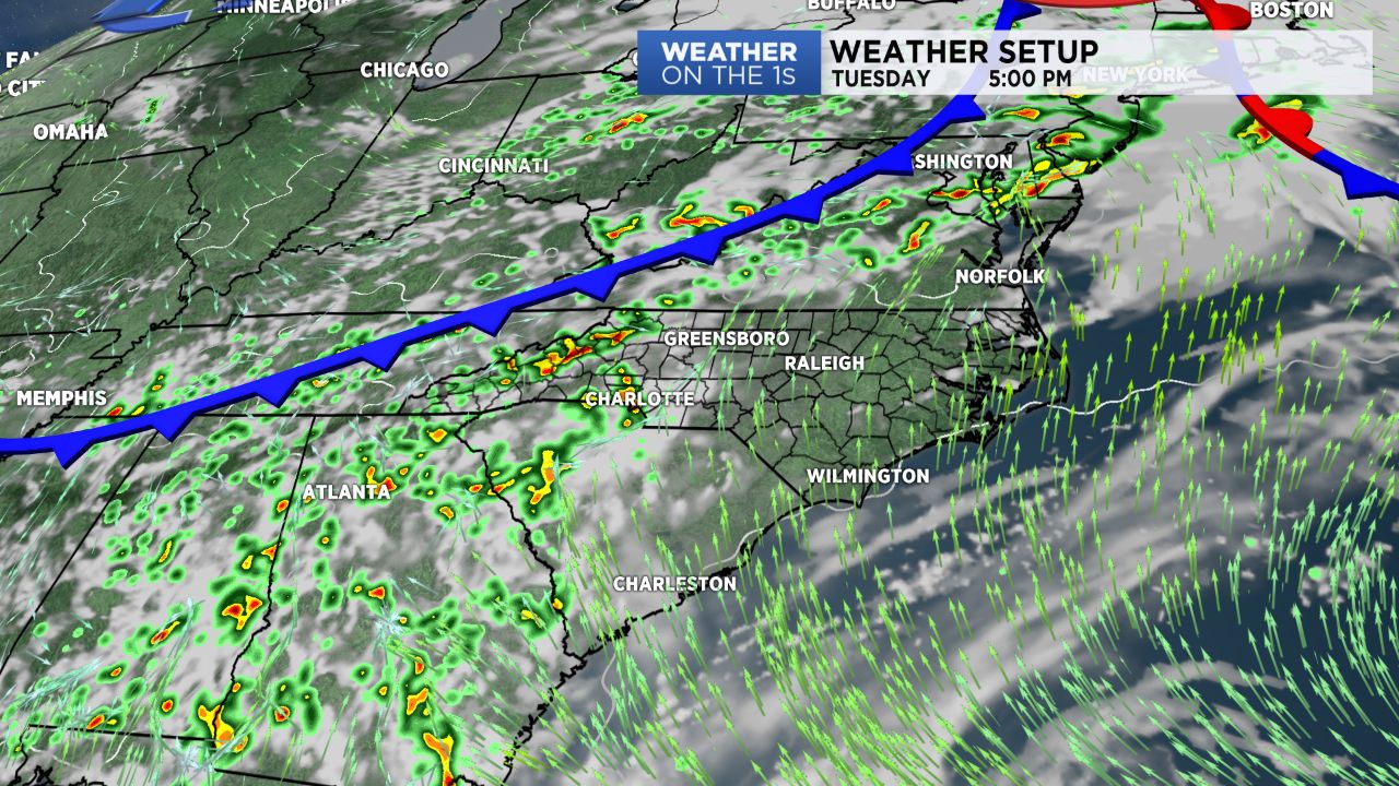
Again today, our afternoon temperatures will head into the mid-80s, and it will remain pretty muggy as well. As a cold front approaches from the west, a good amount of showers and storms should fire in the mountains this afternoon, and then some of those showers and storms will work eastward through the foothills and into parts of
For the immediate Triad region, this afternoon could feature a few showers and storms, but the better-scattered storm chances will be this evening.
As the cold front moves through tomorrow, look for scattered storms with highs in the 80s.
Some drier air temporarily takes hold for Thursday, so I am going with a dry forecast with a slight decrease in the humidity. Scattered storms then return for Friday and Saturday.
We continue to monitor an area of storms in the Caribbean Sea. There is some chance this will organize into some type of tropical system as it works its way into the Gulf of Mexico. Regardless, the system will likely pull extremely moisture-rich tropical air into the Carolinas by Sunday and Monday. This will lead to very good chances for some areas of rain and storms as we get deeper into the holiday weekend.