


A spotty shower or storm is possible this evening and early tonight. However, unlike the last several days coverage is expected to remain low. So, most locations should remain dry into Monday morning.
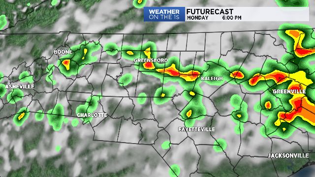
A humid and unsettled weather pattern will return to the region on Monday, and then linger through the middle of the week. Similar to last week, areas of rain and storms will pass through with most occurring during the afternoon and evening hours. Heavy downpours will again be possible and could lead to localized flooding. However, in contrast to last week I think the overall coverage of storms will be less and that should minimized any widespread threat of flooding. In the meantime, warm and muggy conditions are expected to continue.
A weak cold front will hopefully arrive on Thursday. If this front is able to push far enough south then a drier airmass will overtake the region for the end of the week!