


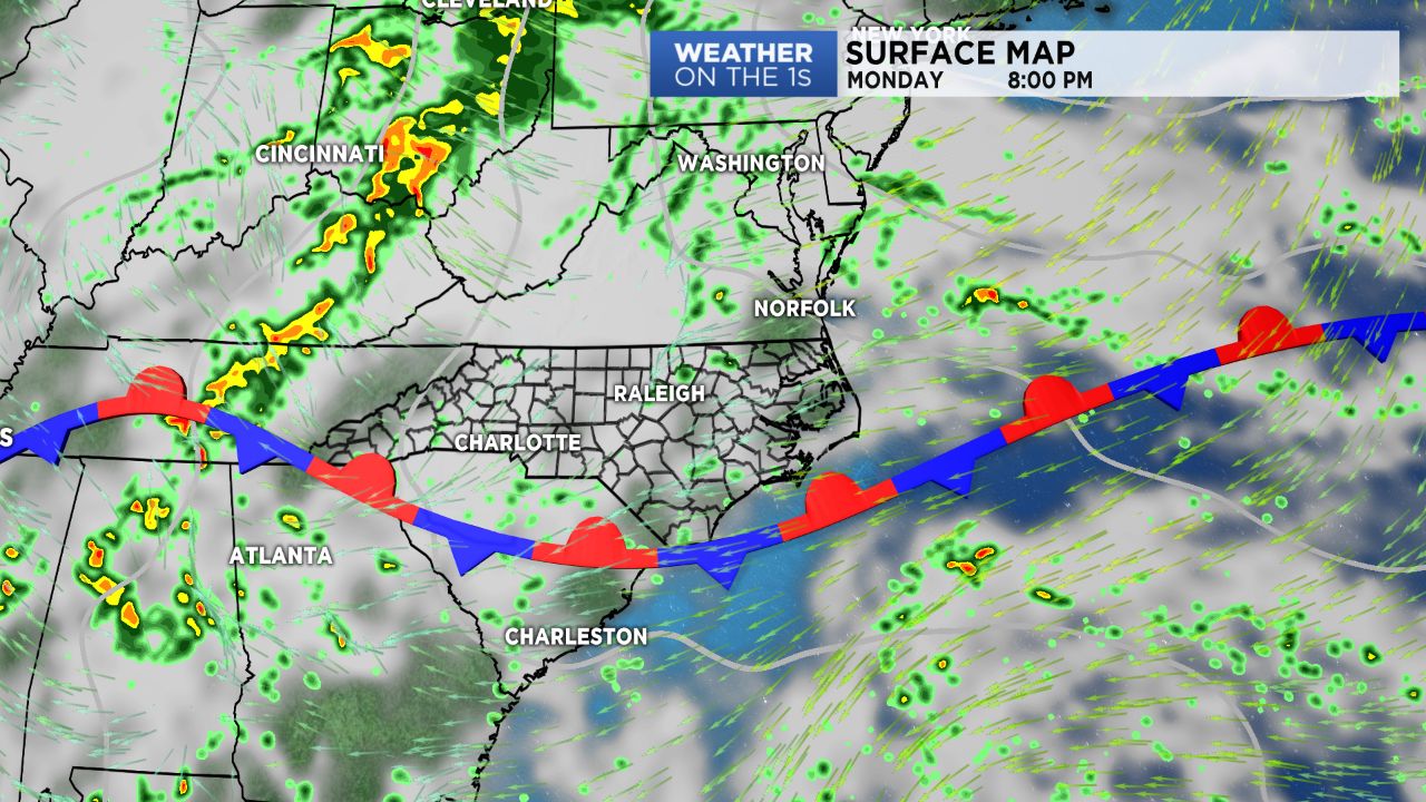
WILMINGTON, N.C. -- A weak, slow moving cold front will continue to sag south of the region Monday then stall across the area through Tuesday. A second, stronger cold front is set to sweep through the region Thursday through Friday.
- A cold front continues to move through.
- A second, stronger fround will come through Thursday.
- Widely scattered showers are on tap for Monday.
As a frontal boundary continues to sag south today, expect a bit more cloud cover Monday with widely scattered showers and maybe a few weak storms moving from east to west along the seabreeze. Temperatures will be near average as highs warm into the upper 70s to low/mid 80s.
Tuesday will feature a similar weather pattern but better chances for showers and storms as a disturbance between Bermuda and the Bahamas scrapes against the Carolina coast.
A cold front approaching the region Thursday will increase our storm chances by the end of the work week. Behind the front, dry and cool high pressure is expected to build in by the tail end of the weekend and early next week, which should bring us a nice taste of Fall weather!