


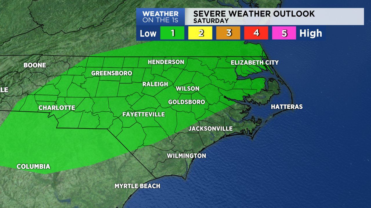
The Storm Prediction Center has placed much of North Carolina under a marginal (low-end) threat for strong and severe storms Saturday afternoon and evening. A cold front currently to our northwest is diving south into Virginia. The front along with heating and ample moisture and instability will create an environement favorable for storms Saturday evening. For many Saturday afternoon looks to be an non-issue, especially for areas along and east of I-95. Afternoon highs will peak between the mid 80s to low 90s.
A cluster of showers and storms will likely track east across central North Carolina first then eastern locations. One or two storms me be intense or even severe-warned. Any storm that develops will have the potential to produce a downpour thanks to the moisture available in our area. Within intense storms, strong wind gusts along with freqent ligtning may be an issue. An isolated shower or storm may hang on late tonight. But most will be dry overnight as lows fall into the low to mid 70s.
The cold front to our north over Virginia will shift east Sunday. Expect another warm and muggy day. Highs will be near 90 with afternoon storms a possibility once again. A new cold front will sweep across North Carolina Wednesday, but stall over the coast Thursday morning .This will lower rain chances for much of central and western North Carolina, but keep rain in play for the coast over the next 5 to 7 days.