


After a extremely soggy Sunday, mother nature is allowing for us to dry off a bit as we begin the new workweek. Drier air continues to filter into the state and region as a cold front moves east, away from North Carolina. Other than a few isolated storms, the remainder of our Monday looks to remain calm. Temperatures will gradually cool this evening as we fall into a slightly cooler setting tonight compared to last night. Overnight lows will likely rest in the upper 60s to low 70s.
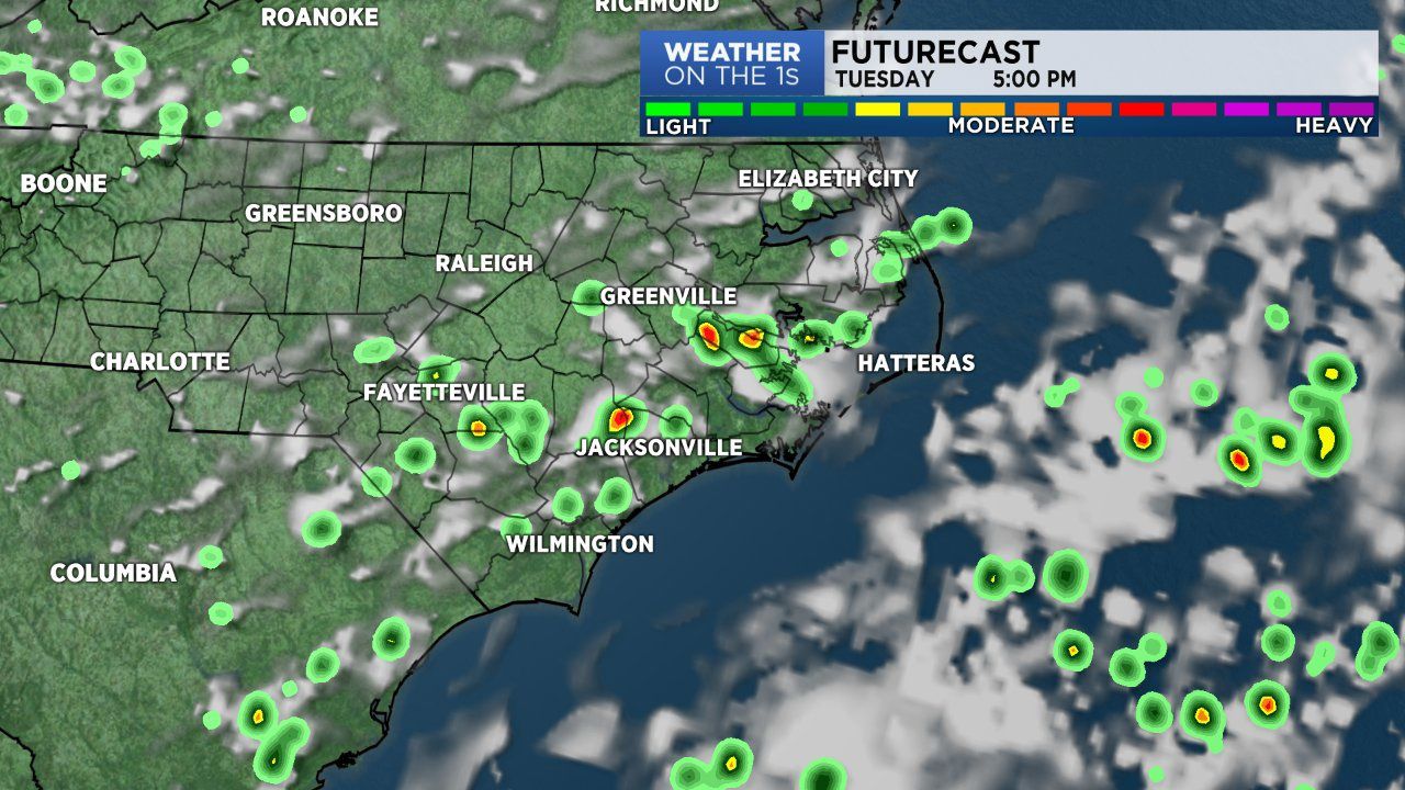
High pressure will slide into the region as we move into Tuesday. A few showers are possible for coastal areas, while the vast majority of the state will be dry with plenty of sunshine. Tuesday will likely feature highs in the upper 80s to low 90s. Skies will range from partly cloudy to mostly sunny. Cloud cover will favor eastern N.C.
Wednesday and Thursday will likely be a touch hotter into the low to mid 90s during the afternoon. Both days will host an ample amount of sunshine.
Our next storm system will arrive by Friday so don't put your umbrella too far away. Isolated to scattered storms will once again disrupt our afternoons Friday, Saturday and Sunday.