


High pressure sits to our north and it’s providing a spectacular day across much of the state. Enjoy a nice northerly breeze today as we move through a very warm, sunny day. Highs today will be a bit warmer than Friday, in the upper 80s to low 90s. A few showers will likely impact western North Carolina over the mountains. But only a few clouds are expected over eastern portions of the state this afternoon with a minimal (10%) rain chance.
Skies will remain mostly clear tonight, temperatures will fall into the upper 60s to low 70s overnight.
The area of high pressure to our north will shift to our east Sunday. This new position will shift our winds, turning them southerly. This will create warmer daytime temperatures. Expect highs Sunday in the low 90s for many. The good news is still no rain.
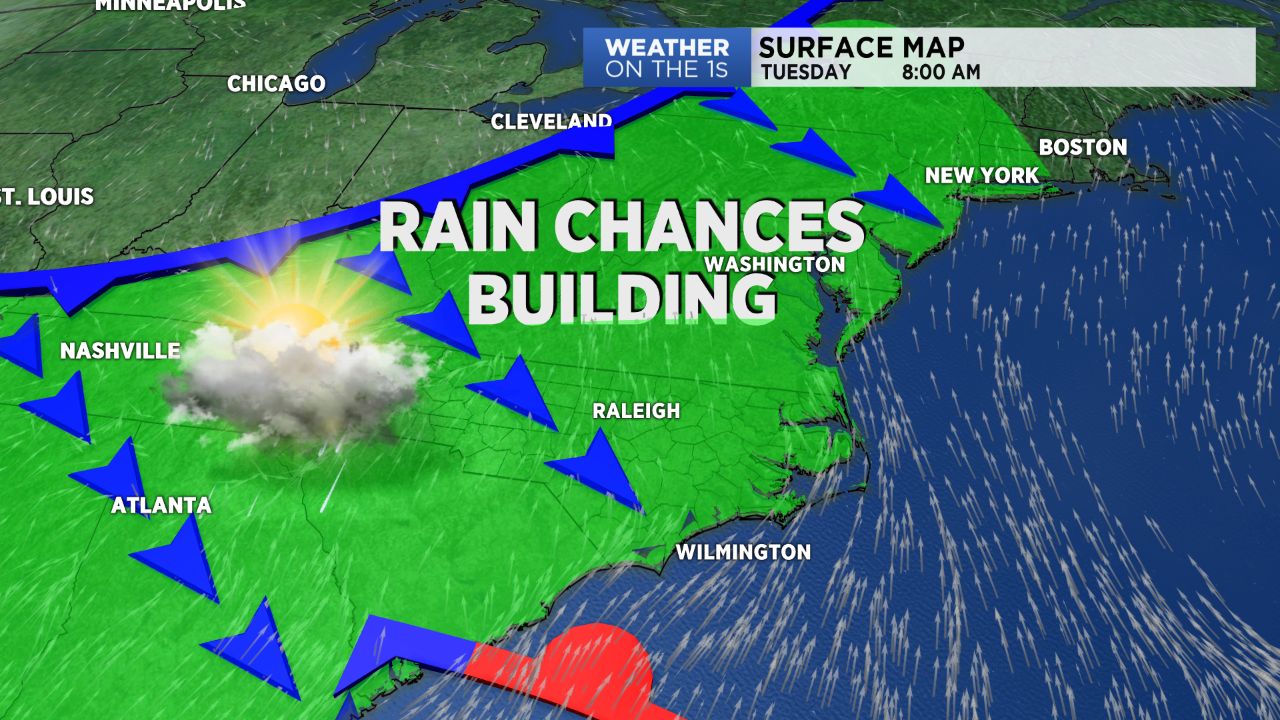
Sadly our forecast does dampen a bit as we move into the upcoming workweek. An approaching cold front will arrive and try to pass through the state. We’ll likely deal with isolated storms Monday afternoon, then isolated to scattered storms Tuesday and Wednesday.
It’s likely this front will stall just to over South Carolina Thursday, and then lift north back through North Carolina early Friday. This will keep rain in our forecast through the end of the week and into next weekend. So enjoy the dry, sunny weather now while you can!
TROPICAL UPDATE:
The remnants of what was once Hurricane Beryl remains over the western Atlantic near Bermuda. Based off the latest date the National Hurricane Center gives the remnants a 30% of re-development over the next 48 hours. Regardless of re-development, the remnants are no threat to North Carolina. A upper level ridge over the eastern U.S. will continue to block the cluster of storms similar to how it block Hurricane Chris earlier in the week.