


We saw an increase in showers and thunderstorms for the Fourth of July on Wednesday and we saw a decrease in temperatures.
- Expect a few showers overnight
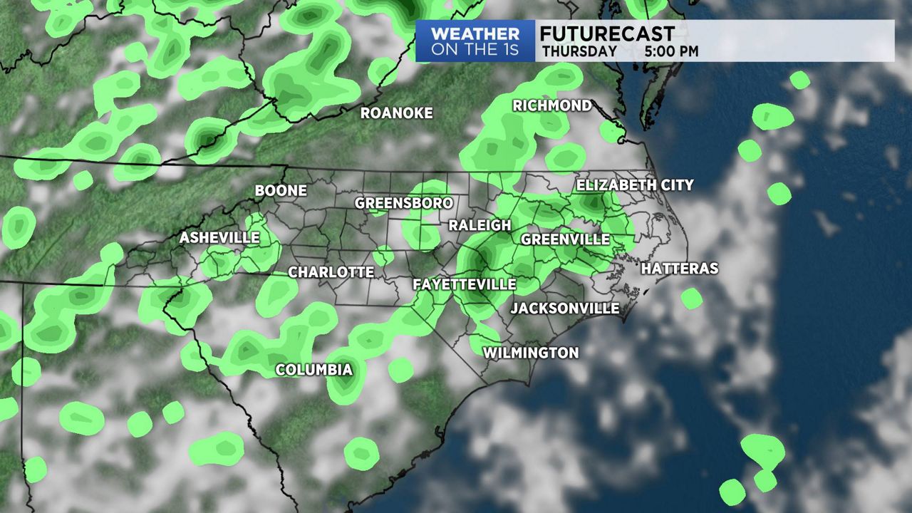
- Chance of showers and isolated thunderstorms Thursday
- Cold front approaching Friday
Any chance for showers and thunder will decrease during the evening. However, the flow of moisture off the Atlantic could give us a few showers during the overnight hours as well. On Thursday, we'll see another chance for showers and isolated thunderstorms with this moisture flowing in off the Atlantic.
By Friday, a cold front will approach North Carolina. That front will increase our chances for showers and thunderstorms from Friday afternoon, through Friday night and into Saturday. With the passage of the cold front, high pressure should give the area nice weather for the second half of the weekend on Sunday.
At the beaches on Thursday, there is a chance for a few scattered showers and storms with air temperatures in the 80s. We are expecting a moderate rip current risk at most area beaches.
In the tropics, the National Hurricane Center is monitoring two areas of disturbed weather; one near Bermuda and a second system farther out in the Atlantic. Both disturbances have the potential for development over the next three to five days. Neither pose a threat to land at this time but will be watched closely.
Watch Spectrum News for your latest local forecast.