


We saw a few showers and thunderstorms on Tuesday afternoon and we are expecting a better chance for showers and thunderstorms for mid-week Wednesday.
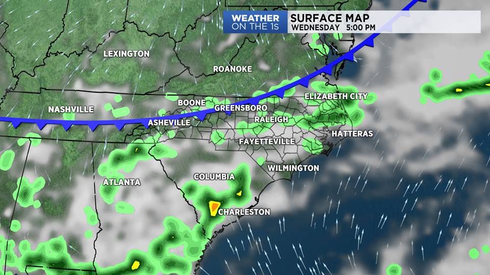
A cold front will drop toward North Carolina through the night and into Wednesday. Ahead of the front, we may see a few spotty showers on Tuesday night with mostly cloudy skies.
As the front moves across the state on Wednesday, the chances for showers and storms will increase. Some storms could produce heavy rain, gusty winds, some hail and dangerous cloud to ground lightning. The greatest chance for these stronger thunderstorms will be across the northern Coastal Plain.
High pressure builds into the region for the end of the week. We have only a slight chance for showers and storms on Thursday and Friday.
In the tropics, the National Hurricane Center is monitoring an area of disturbed weather near Belize. This system has a 50 percent chance of developing into a tropical or sub-tropical cyclone in the next 3 to 5 days.
Watch Spectrum News for your latest local forecast.