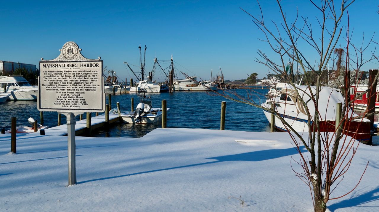
The melting process has begun thanks to plenty of sunshine, but cold temperatures overnight will make for hazardous travel Friday morning.
Then a warming trend starts Friday as afternoon highs peak in the low to mid 50s. Warmer Saturday with highs in the mid to upper 50s. The low 60s are expected by Sunday.
Early next week should be even warmer. Highs in the mid 60s are forecast for Monday.
Our next chance for precipitation will come late Monday night into early Tuesday morning when rain showers will pass through the area.
Get the latest news, sports and weather delivered straight to your inbox. Click here to sign up for email and text alerts.


