


The first half of this month has been the fourth warmest October to date in Raleigh and the fifth warmest for Wilmington and Fayetteville. Those stats may not hold up past Monday though as a cold front is moving through the state which will bring an end to the warm and humid weather from last week.
Comfortable fall conditions are forecast for much of this week with cool mornings and mild afternoons.
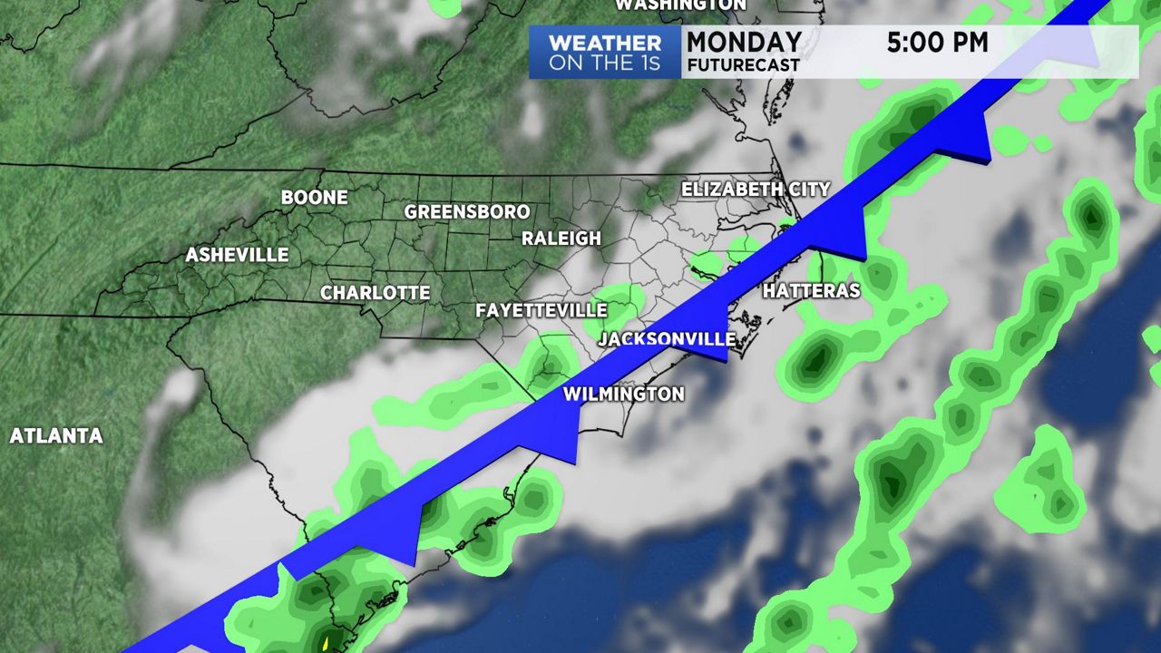
Before the cooler weather arrives, the front will bring showers across the state through the day Monday. Rainfall totals should range from a trace to 0.2." That will be the only chance to see any rain this week as the front will also bring drier air to the Carolinas starting Monday night.
Monday's daytime temperatures will hold in the 60s in the Triangle. The Sandhills and the coast will see highs through midday in the low to mid 70s. As the cooler air arrives, temperatures will drop to the 40s for late Monday night into early Tuesday morning.
The coolest morning this week should come Wednesday morning when lows will range from near 40 in Raleigh to the low and mid 40s in southeastern North Carolina. Outlying areas around the Piedmont could see a light frost.
A gradual warm up is forecast for the second half of this week. Highs will return to the upper 70s to near 80 by Friday and the upcoming weekend.