


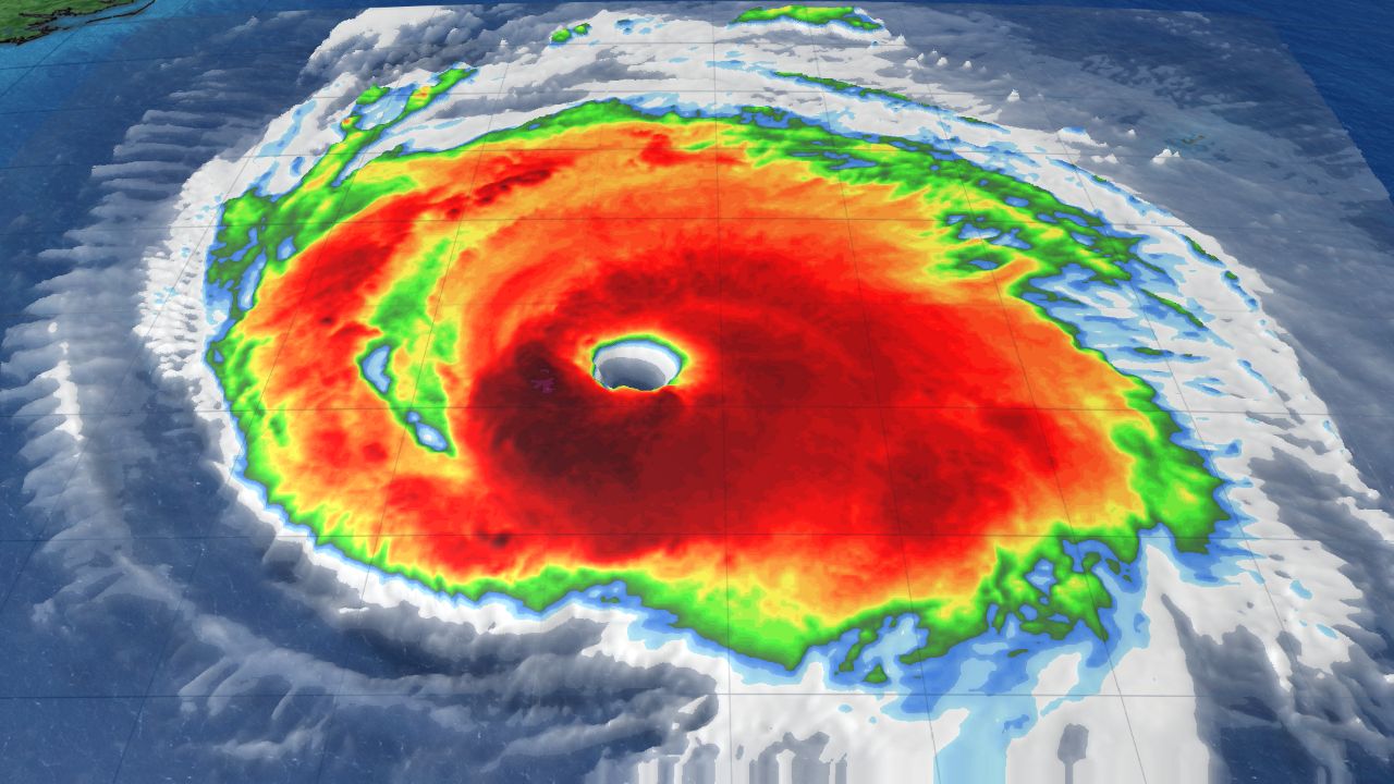
NORTH CAROLINA -- Hurricane Florence has been downgraded to a Category 2 storm but it is still considered an extremely dangerous and life-threatening storm.
- Steering patterns in the atmosphere may completely break down causing the storm to stall just off the coast of southeast North Carolina and northeast South Carolina
- The southeast coast of North Carolina will experience a prolonged storm surge reaching up to 9 to 13 feet
- 20 to 30 inches will fall on southeastern North Carolina, Charlotte could see around five to 10 inches of rain. Closer to Raleigh, Durham and Greensboro the forecast is a bit more uncertain
Its maximum sustained winds have dropped slightly to 110 mph. It is becoming more certain that Florence will bring a dangerous storm surge to the Carolina coast and life-threatening flooding farther inland.
By late Thursday into Friday, steering patterns in the atmosphere may completely break down causing the storm to stall just off the coast of southeast North Carolina and northeast South Carolina. Florence could then move slowly along the North Carolina and South Carolina line then possibly move down the South Carolina coast before actually making landfall later this weekend.
Florence is a large hurricane and will affect much of North and South Carolina. The southeast coast of North Carolina will experience a prolonged storm surge reaching up to nine to 13 feet from near the mouth of the Cape Fear to Cape Lookout.
This same area will also likely experience a prolonged period of destructive winds resulting in power outages that could last for days or weeks.
Even more troubling is the amount of rain that could fall in southeastern North Carolina due to the storm slowing down or stalling out.
The latest data suggests at least 20 to 30 inches will fall on southeastern North Carolina including the Wilmington, Jacksonville and Crystal Coast from Thursday through the weekend with isolated totals of up to 40 inches possible. That would cause historic flooding for the region that would occur during the storm and for days after the rain stops due to river flooding.
A bit farther inland, the rain may not be quite as heavy but flooding will still be a concern from the Sandhills to some locations near I-95. From Lumberton to near or south of Fayetteville to Goldsboro, 10 to 15 inches of rain could fall.
Across the Piedmont, Charlotte could see around five to 10 inches of rain. Closer to Raleigh, Durham and Greensboro the forecast is a bit more uncertain. For now, it appears four to seven inches of rain could fall but, if the storms takes a more southerly track into South Carolina, that rainfall could be reduced.
It is very important to point out that changes in the forecast track are still possible and even small changes in the storm could greatly change the expected conditions in your area.
Everyone in the Carolinas should continue to finalize their preparations for the storm Wednesday. Find out now if you live in a flood prone area or a location that will be greatly impacted by storm surge. If you do, move to a higher ground before the storm arrives.
Strong winds and rain could reach the coast Thursday, slowly moving inland through the end of the week and into the weekend.
Stay up to date on the clean-up and aftermath of Florence:
- Florence resources and helpful links
- How to begin the steps to recovery
- Residents return after Florence
- Like us on Facebook
- Watch Live
- Closings and delays
- Download the App