RALEIGH — Bitterly cold weather is ahead for North Carolina this Friday through the Valentine's Day weekend.
This Arctic blast could rival the coldest weather we have felt so far this winter. At this point, January 8 has been the coldest day for most of the state. Highs did not warm above freezing that day inCharlotte and Willmington and did not make it out of the 20s in Raleigh and Greensboro.

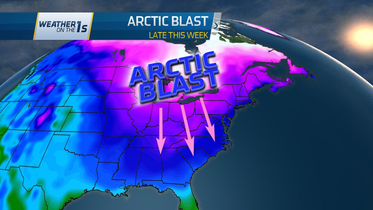
Frigid air from Canada and the Arctic will move into the eastern United States at the end of this week. The first surge of this very cold air will arrive in North Carolina Thursday night into Friday morning. Temperatures will drop to the low and mid 20s over central and eastern North Carolina by sunrise Friday. A breeze will likely make it feel colder. Computer models now show wind chills from near 10 in Greensboro and Raleigh to the teens from Charlotte to Fayetteville to Wilmington Friday morning.

We should see plenty of sunshine all day Friday. However, with such cold air in place, highs will only warm to the 30s across much of the state. Temperatures may top out near 40 near the southeast coast. Friday will not be the coldest day we feel over the next week though. Temperatures will warm up slightly Saturday ahead of a second surge of Arctic air that will move into North Carolina Saturday night into Sunday.
Temperatures will drop to the teens across most of the state Sunday morning with the single digits in the mountains.

Saturday night and Sunday morning will likely be breezy too. Computer models are currently indiciating the wind chill, or feels like temperature, could drop to near 0 from Raleigh to the coast. Wind chills below 0 are forecast by models from Greensboro and Charlotte to the mountains.

Since the weekend is still several days away, some adjustments may need to be made to the temperature and wind chill forecast. Regardless, we are in for very cold weather from Friday through the weekend.
This Arctic blast will feature not only very cold air but also very dry air. Wintry precipitation is not expected through the weekend with the exception of some snow showers in the mountains late Thursday and Thursday night.
The next chance of precipitation for most of the state should come around the middle of next week. Temperatures will not be quite as cold by then. It is still very uncertain exactly when the precipitation will arrive and how much cold air may be in place at that time. If you see snow on computer generated weather apps or see social media posts about snow during that time, take that with a grain of salt for now. Forecasting specifics of winter weather in North Carolina is extremely difficult just a few days ahead of time much less over a week away. Many of us could just end up with another chilly rain. Time will tell. For reliable and responsible weather coverage, stay tuned to Time Warner Cable News and twcnews.com
Follow Meteorologist Lee Ringer on Social Media: