


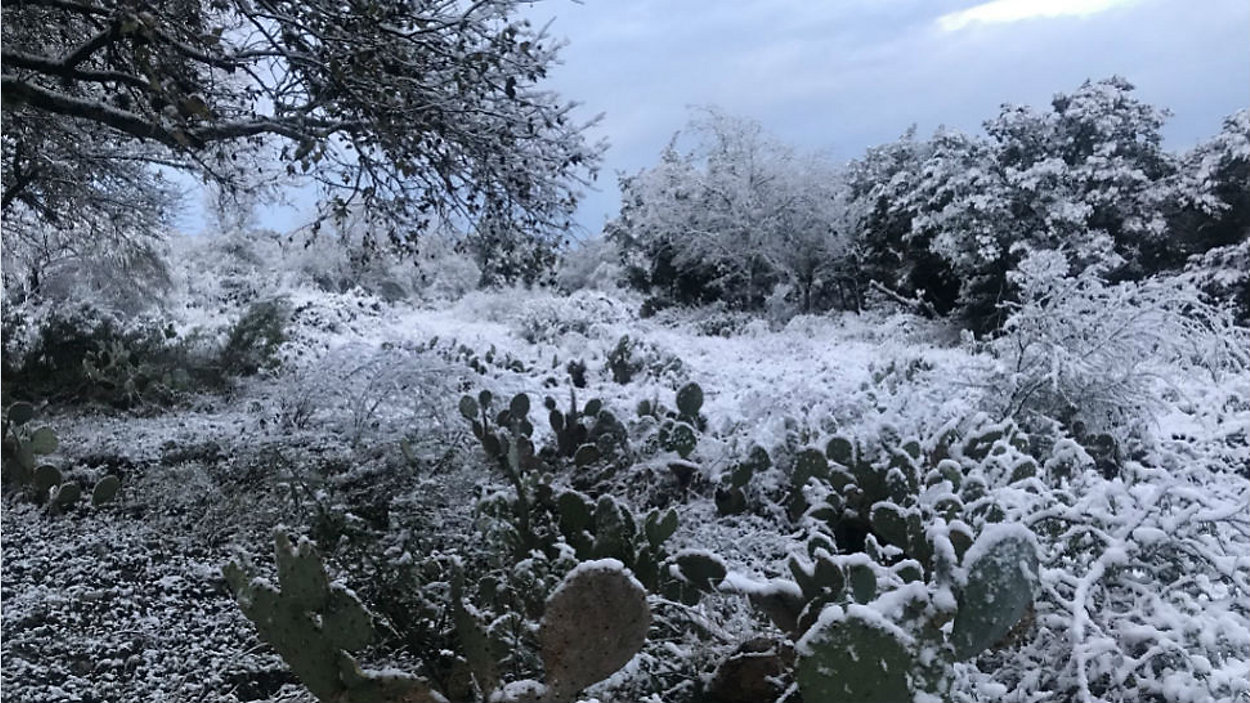
TEXAS – A brief burst of wintry weather could include chilly rain turning to snow across parts of Central Texas.
Computer models show the transition happening late Thursday night in the Hill Country, then it's all expected to push across the Interstate 35 corridor through the wee hours of Friday morning with the possibility of impact on travel.
It will all happen thanks to a cold-cored low pressure disturbance we expect to swirl directly over our part of the Lone Star State.
In the above video, Chief Meteorologist Burton Fitzsimmons shows us the latest model projections as of Wednesday morning.
Of course, the track of this storm could change and that means the forecast could, too. Be sure to check the very latest on the main weather homepage and/or watch 'Weather on the 1s' on Spectrum News.
WEATHER ON THE GO: Download the Spectrum News app and watch our live stream no matter where you are!
GET WEATHER ALERTS: Sign up to receive weather text alerts from the Spectrum News Weather Team