


Cloud cover is going to be stubborn over the next 24-36 hours. A few lucky areas in the Northeast part of the state may see some breaks in the clouds, but that just means colder temps overnight!
By the middle of the week the clouds will finally exit and the sun makes a return across Wisconsin. The trade-off: colder air slips in from the North. By Friday morning it's going to be frigid across the area with lows near zero. Over the weekend we should end up sunny and dry, but it will remain about 10-15 degrees below average.
GREATER MILWAUKEE AREA FORECAST:
Tonight: Mostly cloudy and cold. Low: 26 | Wind: NW 5-10mph
Tuesday: Mostly cloudy and staying cold. A few flurries possible. | High: 32 | Wind: NW 5-15mph
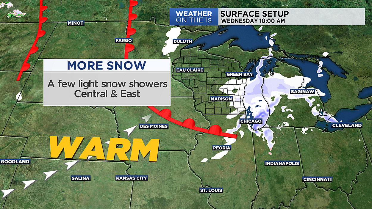
Wednesday: Partly to mostly cloudy, breezy and cold. | Low: 20 High: 32 Wind: W 10-20mph
Thursday: Mostly cloudy and still cold. A few flurries cannot be ruled out. | Low: 24 High: 29
Friday: Mostly sunny to partly cloudy but colder. | Low: 15 High: 24
Saturday: Mostly sunny and not as cold. | Low: 16 High: 28
Sunday: Mostly sunny and cold. | Low: 19 High: 30
Monday: Mostly sunny and cold. | Low: 21 High: 32
Follow the "Weather On the 1s" Team on social media for the latest weather updates:
Chief Meteorologist JD Rudd: Facebook | Twitter
Meteorologist Kristin Ketchell: Facebook | Twitter | Instagram
Meteorologist Brooke Brighton: Facebook | Twitter | Instagram