


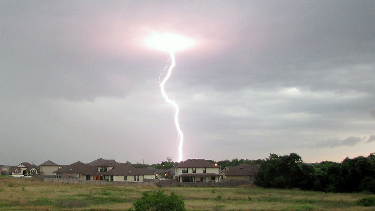
AUSTIN, Texas -- So far, there's only been a trace of rain in Austin this month when, historically, it's the wettest time of year. Right on cue, several rounds of showers and storms look to rumble through the state of Texas this week and might wipe out our deficit in a hurry, especially as we get into the weekend.
Today's forecast calls for afternoon highs in the low 80s with increasing humidity. Southerly winds will pick up to near 15 mph by evening, and that's when we expect to see clouds getting thicker again.
Current Conditions | Satellite & Radar | 7 Day Forecast | Allergy
We'll reintroduce a 20 percent rain chance starting at midnight. It'll be a much warmer, muggier night with overcast skies.
The odds bump up to 30 percent for isolated storms tomorrow, which will otherwise be a warm and breezy Tuesday.
The warming trend will likely have much of the area in the upper 80s on Wednesday and possibly low 90s come Thursday. It's a fairly low but noted 20 percent rain/storm chance during the middle of the week. Most of the storms we see popping up in the Lone Star State the next few nights will be to our west.
As the upper-level pattern shifts, we'll watch for more energy and several disturbances to move in from the west, increasing our rain chance to 30 percent Friday, 50 percent on Saturday, and 40 percent for Sunday.
In all, NOAA's latest 7 day rain outlook calls for some widespread 2.5 to possible 3 inch rain accumulations here at home between now and next Monday, some of which might come in a hurry. Be sure to check with us often for updates!
Please join us on Spectrum News for more with our 'Weather on the 1s' every 10 minutes. You can watch on TV or via the live stream.
WEATHER ON THE GO: Download the Spectrum News app and watch our live stream no matter where you are!
GET WEATHER ALERTS: Sign up to receive weather text alerts from the Spectrum News Weather Team
Enjoy the weather!
--Chief Meteorologist Burton Fitzsimmons (@Burton_Spectrum)