


As promised, the roller coaster ride has taken our temperatures all over the place this week! From highs in the 80s to 90s then back to the 70s again, we saved the coldest for last with some rural low 40s out there at sunrise Friday morning.
Current Conditions | Satellite & Radar | 7 Day Forecast | Allergy
The forecast calls for a quick warm-up, with Friday afternoon highs in the low 80s. Very dry air aloft and at the surface will help keep skies abundantly sunny.
And you can count on the warming trend to continue, putting us in record territory this weekend.
The record high to beat on Saturday in metro Austin is 95 (1921) while, at the airport, the standing record is 93 (1993.) Both could fall! Our forecast calls for a Saturday high of 93.
The tail end of a very weak cold front will sweep through the northern half of the Lone Star State on Saturday but with little to no impact locally.
A slim 20 percent rain chance returns starting Sunday. Computer models show plenty of Gulf moisture helping to generate some low clouds, fog and drizzle during the morning hours on Sunday, then we should see sunshine return by afternoon with hot low 90s. Sunday's record to beat? 92 from 2005.
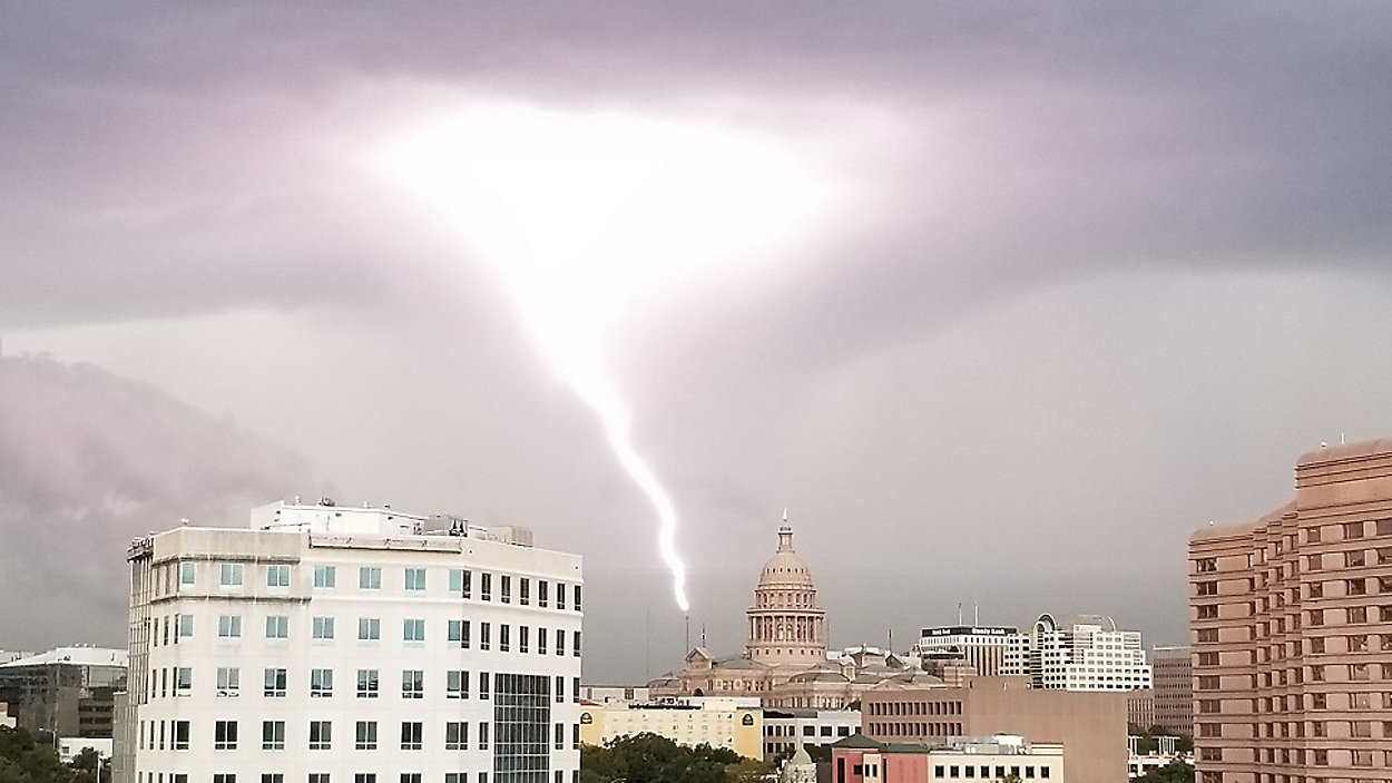
Our next best rain chance (50 percent) comes early Monday as another polar cold front arrives. Brief but strong thunderstorms could make a ruckus first thing as we start out next week, followed by cooler breezes ushering more fall air into the region.
Yet another cold front is on track to arrive next Thursday, making nearly all of next week cooler than normal.
Please join us on Spectrum News for more with our 'Weather on the 1s' every 10 minutes. You can watch on TV or via the live stream.
WEATHER ON THE GO: Download the Spectrum News app and watch our live stream no matter where you are!
GET WEATHER ALERTS: Sign up to receive weather text alerts from the Spectrum News Weather Team
Enjoy the weather!
--Chief Meteorologist Burton Fitzsimmons (@Burton_Spectrum)