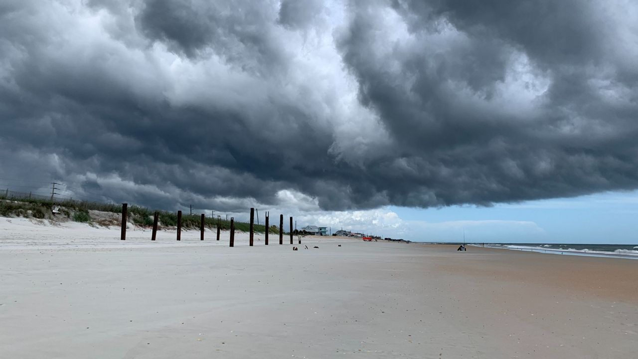
An active weather pattern is setting up over the next 24 hours as deep tropical moisture surges over the state of Florida. As our showers and storms wrap up this evening across the Florida peninsula, the atmosphere will reload overnight getting ready for another day of showers and storms on our Wednesday. Tonight, expect partly to mostly cloudy skies and lows in the low to mid 70s across the state.
Deep tropical moisture moves back in during the day on Wednesday. In addition to widespread cloudiness, this will spawn several rounds of showers and storms. While some locations could pick up in excess of 2 to 3 inches of rainfall on Wednesday, most locations should see between half an inch to one inch of rainfall. Highs will be on the cooler side, in the low to mid 80s due to the widespread clouds.
By Thursday, our first bout of Saharan Dust moves in. While this won't eliminate rain chances, it will help to drive them down from Wednesday's widespread chances. Expect building highs back into the upper 80s and lower 90s, with heat index values between 100-105° through the end of the week with hazy skies each afternoon. Scattered seabreeze storms are expected Thursday and Friday as well.
 |
Highs: Low to Mid 80s Lows: Low 70s Rain Coverage: 60% |
Check your hour-by-hour forecast here | Share your weather photos