The City and County of Honolulu announced Thursday it is seeking a consultant to help to transform the Iwilei-Kapālama neighborhood around its planned rail stations.
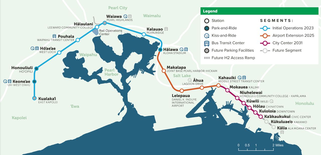
The Iwilei-Kapālama area includes major City and State landholdings, direct access to two Skyline stations, and proximity to existing parks, schools, and public services.
The City’s Department of Housing and Land Management and Department of Transportation Services are spearheading the transit-oriented development pilot, according to a news release.
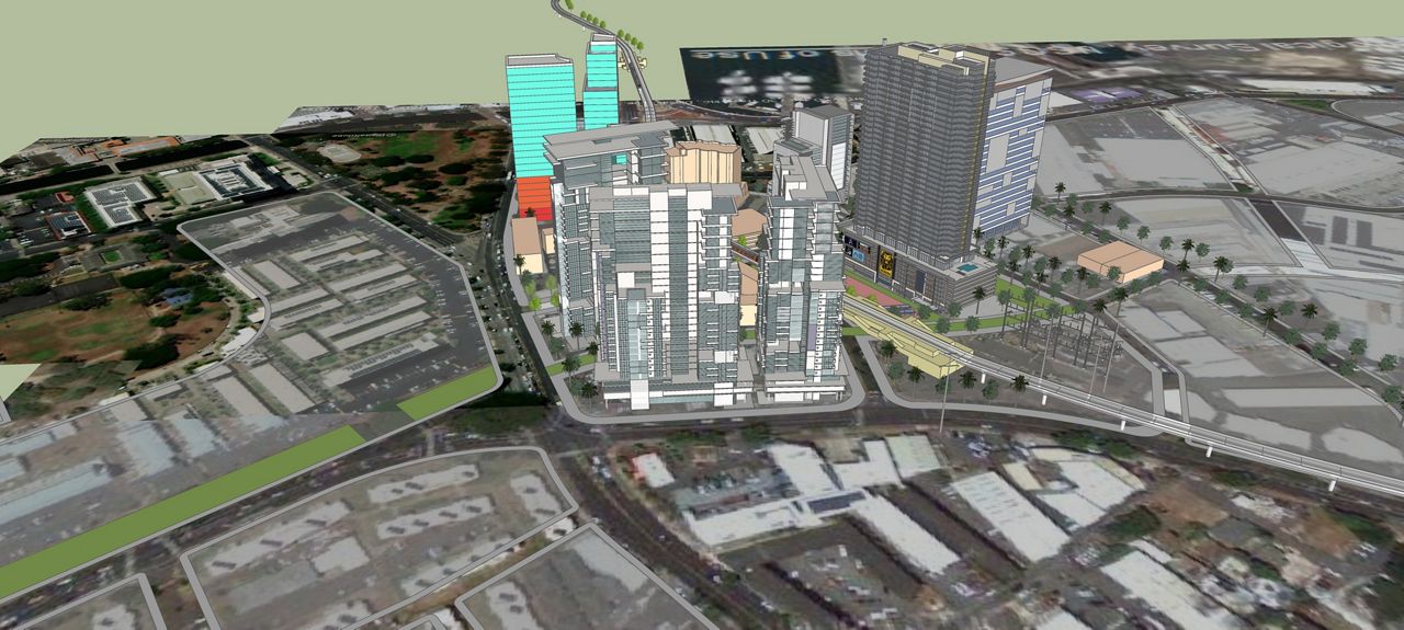
The City put out an official solicitation for proposals in order to find a multidisciplinary team to create a master plan for the transit-oriented development. The selected consultant will be tasked with crafting a conceptual development plan for mixed-use, mixed-income housing on City-owned land near Kūwili Station, and a planning strategy that involves City, State, and private sector stakeholders. The new plan must build on previous plans and will include an implementation-ready roadmap focused on housing affordability, climate resilience, infrastructure coordination and community benefits.
With more than 75% of land under City or State control, the district provides a unique opportunity for a formalized joint City-State effort to implement the master plan, coordinating infrastructure and housing investments.
“This is an exciting opportunity to move from planning to delivery,” said DTS Director Roger Morton in a statement. “Through this partnership, we can integrate mobility, housing and infrastructure planning from the ground up — and set a new standard for coordinated development that can be replicated across the Skyline corridor.”
The Federal Transit Administration's TOD Pilot Program contributed a $2 million grant, awarded through the Bipartisan Infrastructure Law, for the development project. An additional $700,000 from the State TOD Capital Improvement Planning Grant, administered by the Office of Planning and Sustainable Development, will also go towards funding the project.
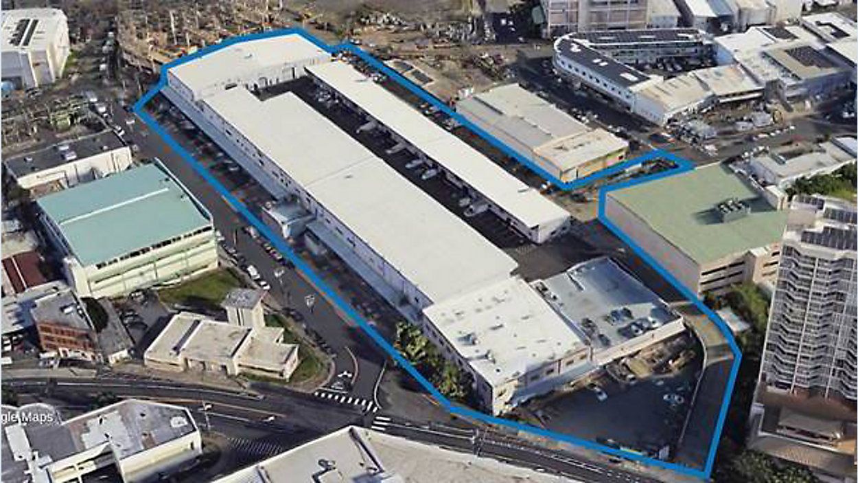
As part of transforming this area, the City is also searching for a development partner to turn the Iwilei Center into a mixed-use, transit-oriented area that integrates affordable housing with commercial, retail, institutional, education, recreational and governmental services.