
The great state of Texas is nearly 270,000-square miles. An 832-mile trip from El Paso to Beaumont would take you more than 11 hours – if you followed the speed limit.
During that trip, you would see magnificent mountains, picturesque plateaus, and profound valleys. The landscape makeup of this state matters when forecasting, especially during the winter months.
In a standard atmosphere, temperatures decrease as you ascend. Meteorologists call this the dry adiabatic lapse rate (DALR) or the rate at which the temperature of a parcel of air decreases with height.
However, there are times where the cooler temperatures are at, or near, the Earth’s surface.
A cold front brings shallow, dense air that resists climbing elevation because gravity pulls and holds the colder air in lower elevations. Another way this happens is during the overnight hours when cooling during the day leaves a pool of cool air in lower elevations, like valleys.
This shallow pool of cold air can be tricky for forecasters, and accurately forecasting its arrival is incredibly crucial – especially when there is precipitation in the forecast.
Each layer, above and below the precipitation, affects what form the matter becomes. Forecasting winter weather in the southern latitudes can be more challenging because each layer warms and cools at different degrees and times.
This is unlike winter weather forecasting in the northern latitudes, where the entire atmosphere cools, and the precipitation that falls through the atmosphere doesn’t melt or change states of matter.
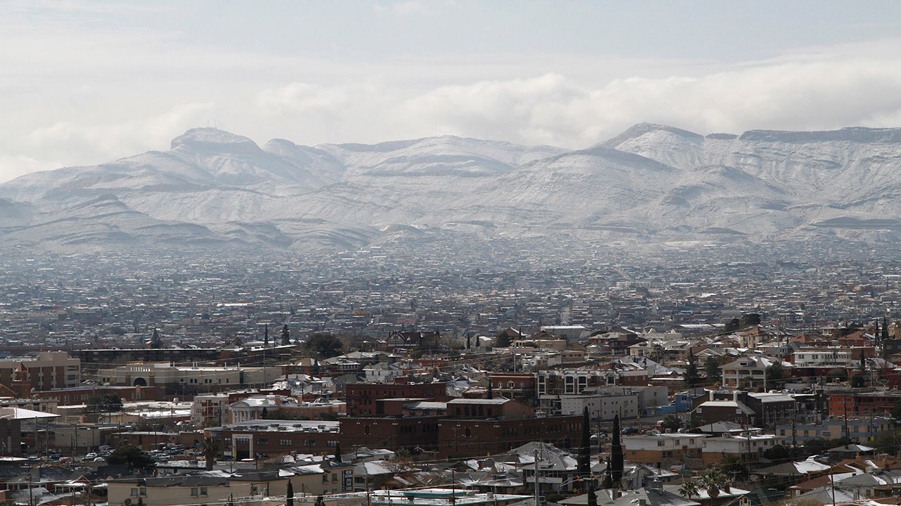
Topography is the change in elevation. It’s what allows for snow to fall in the mountains of Colorado while staying warm at the foothills.
In Texas, these elevation changes can be subtle, but the difference between a cold surface layer and a warm one can be the difference between rain, freezing rain, sleet, and snow – and that impacts us all differently.
Important Definitions from the National Weather Service:
Freezing Rain: Rain that freezes when it hits the ground creating a coating of ice on roads, walkways, trees, and power lines.
Sleet: Rain that turns to ice pellets before reaching the ground. Sleet also causes moisture on roads to freeze and become slippery.
Wind Chill: A measure of how cold people feel due to the combined effect of wind and cold temperatures; the Wind Chill Index is based on the rate of heat loss from exposed skin.
Both cold temperatures and wind remove heat from the body; as the wind speed increases in cold conditions, a body loses heat more quickly. Eventually, the internal body temperature also falls, and hypothermia can develop.
Animals also feel the effects of wind chill, but inanimate objects, such as vehicles and buildings, do not. They will only cool to the actual air temperature. Although, it can be much faster during windy conditions.