-1)
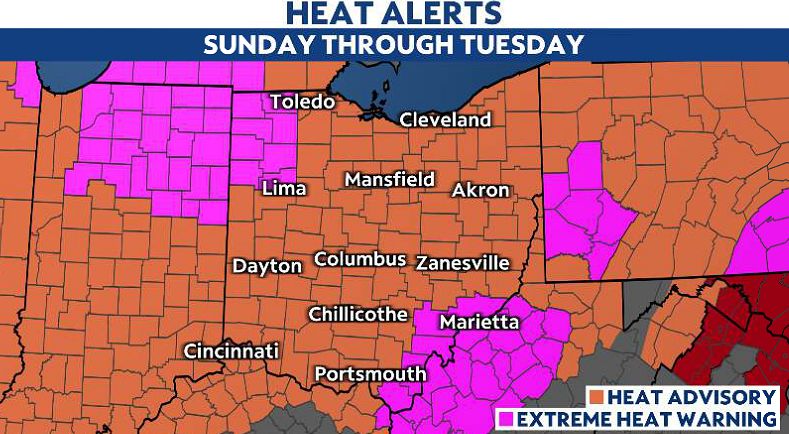
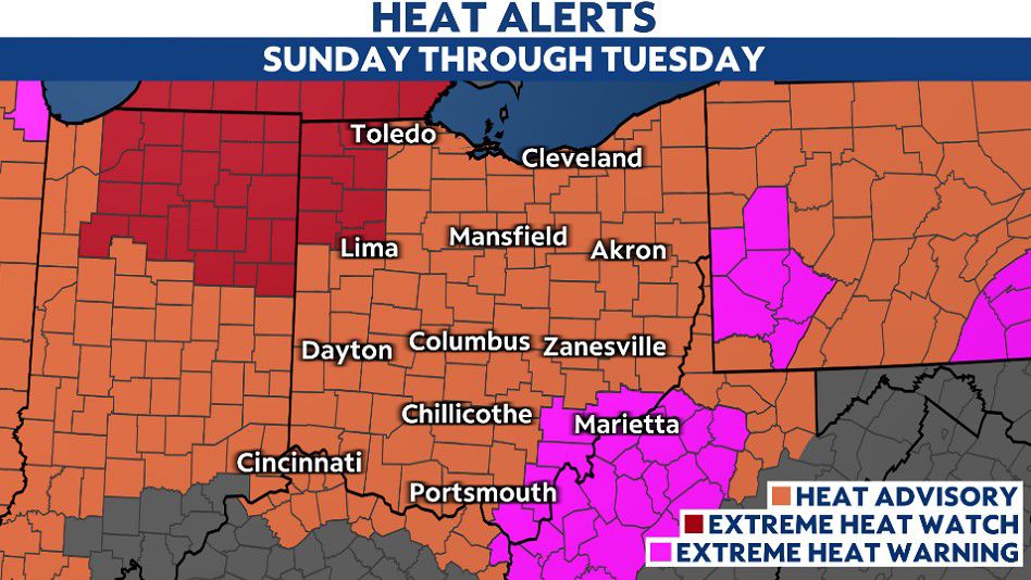
OHIO — The first official heat wave comes to a close for parts of northern Ohio as the extreme heat backs off for now, however, it remains in place for the rest of the state through Wednesday evening.
Heat Advisories remain in effect today across the state, with some areas under an Extreme Heat Warning.
Areas impacted by the heat alerts will experience highs back into the low to upper 90s, hottest temperatures in SE Ohio where the warnings are in effect. And the heat index values for the peak afternoon hours could range from 100 to 105+ degrees.
-1)
More of a relief is possible as pop-up showers and storms are possible throughout the Buckeye state today. Beginning around noon to 2 p.m., storms bubble up, and become scattered through the afternoon before fading before sunset.
A few cells could produce heavy downpours and cool conditions off a bit today.
)
)
_crop)