
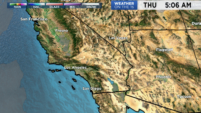
Our weather across the Antelope Valley looks bright and fairly seasonable today, and without as much wind! Thankfully, the fire threat diminishes just a bit more across LA & Ventura Cos. today as winds decrease....even if only temporarily. Today's offshore flow will become an onshore flow tomorrow, turning blustery again with what will likely be our strongest winds of the week. Temperatures, meanwhile, will end up close to the normal high of 81 both today and tomorrow.


It's going to be another chilly night ahead! Plan on needing a light jacket in the morning.

A dip in the jet stream across the West Coast will bring slight cooling the next few days, then high pressure nudges back over SoCal this weekend with another little warm-up.
TODAY: Abundant sunshine. High near 80F. Winds NNW at 5 to 10 mph.
TONIGHT: Clear skies. Lows 44-49. Winds SW at 5 to 10 mph.
WEDNESDAY: Sunny skies with gusty winds developing later in the day. High near 81. Winds WSW at 20 to 30 mph.
See the 7 Day Forecast for more.
Enjoy the weather!
--Chief Meteorologist Burton Fitzsimmons (@Burton_Spectrum)