
ORLANDO, Fla. — A cold front moved through early Monday morning and brought a few showers before sunrise.
- Monday's highs at 62 degrees
- RELATED: Weather FAQ: Why Are Rip Currents Dangerous?
- Send us your weather photos and get the latest forecast via the Spectrum News 13 app
- CURRENT CONDITIONS: Temperatures, heat indexes, trends
- SEE BELOW: See our 7-day forecast ▼
We cleared out quickly heading into the afternoon, but the sun did not help to warm us up. In fact, our highs occurred around 3 a.m. and then temperatures steadily dropped the rest of the day. It will stay a bit chilly for the next several days before warming back up by the weekend.
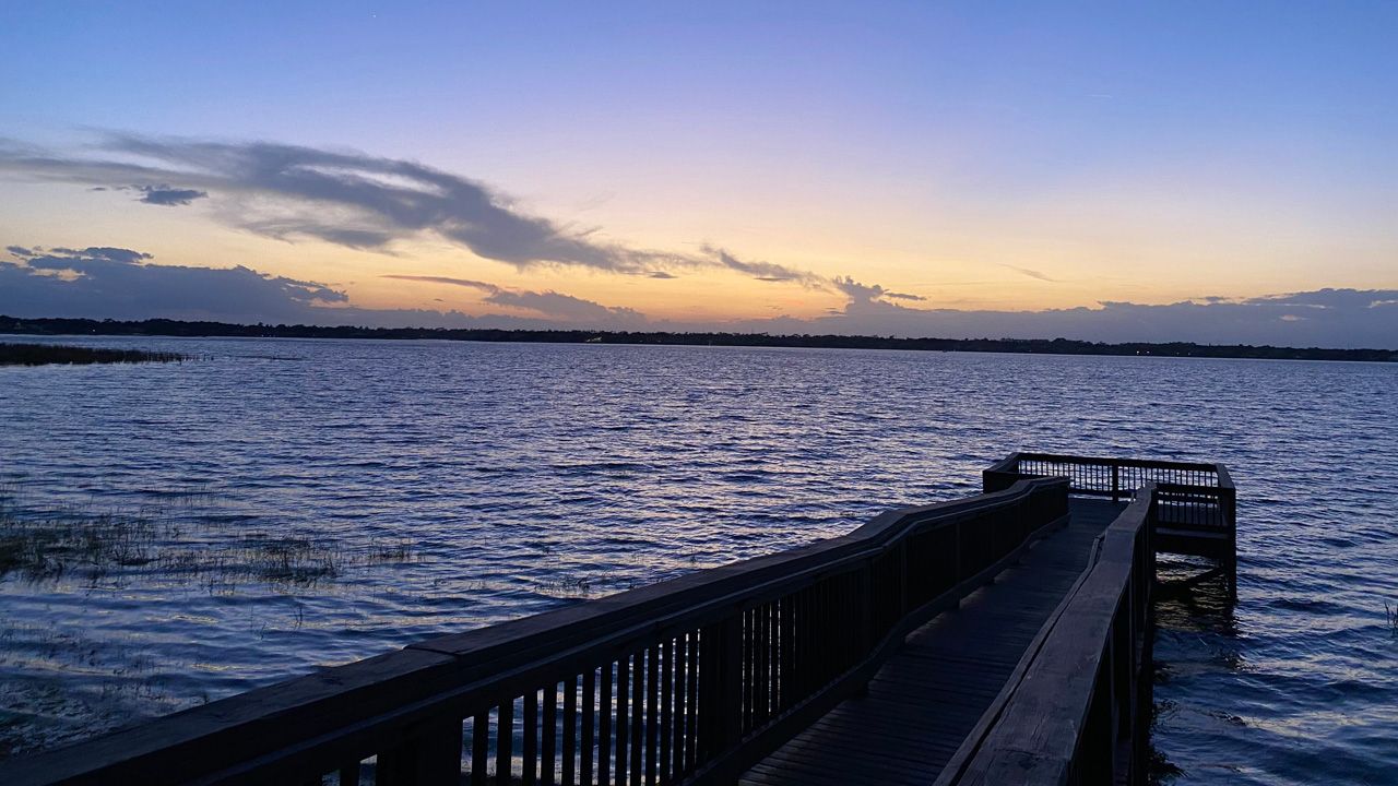
Mostly clear skies are in the forecast through the overnight hours. As the wind starts to settle, temperatures will fall fast.
Here are Central Florida cold-weather shelters open Monday night:
ORANGE COUNTY
- Orlando: Coalition For the Homeless, 18 N Terry Ave., opens at 7 p.m.
BREVARD COUNTY
- Melbourne: His Place Ministries, 1842 South Harbor City Blvd., opens at 8 p.m.
- Titusville: North Brevard Coalition of Human Services, Disabled Veterans Chapter 109, 435 N Singleton Ave., opens at 5 p.m.
- Cocoa: Central Brevard Sharing Center, 113 Aurora Street, opens at 6 p.m.
- Palm Bay: Mosaic Palm Bay, 2100 Malabar Blvd NE, opens at 6 p.m.
VOLUSIA COUNTY
- DeLand: Chisholm Community Center, 520 South Clara Ave.
LAKE COUNTY
- FRUITLAND PARK: Trinity Assembly of God, 200 Urick St., opens at 5:30 p.m.
MARION COUNTY
- OCALA: The Salvation Army, 320 NW 1st Ave., opens at 6 p.m.
We’ll start out Tuesday cold in the upper 30s to low 40s. Some of our northern spots in low lying areas may even see some patchy frost around sunrise.
- View LIVE Interactive StormTracker 13 Radar Map
- View our LIVE Sky 13 Weather Cameras
- Sign up for Severe Weather Alerts
Lots of sunshine will lead us into the afternoon, but temperatures stay well below average. Highs only make it into the upper 50s to low 60s.
We’ll gradually warm back up the rest of the week as high pressure overhead keeps things quiet. High pressure drifts off the mid-Atlantic coast by Friday giving us more of a southwesterly wind and temperatures back into the low to mid-70s.
A weak system tries to drop in Saturday but stalls to our north. Enough moisture returns ahead of it to provide an isolated shower threat, although most of us stay dry and mild. Highs both Saturday and Sunday will be well into the 70s.
Beach and Surf Conditions
A local northerly windswell and wave heights of two to three feet are expected to create poor to fair surfing conditions the next couple days. We’re also looking at a moderate rip current threat so be sure to swim in sight of an open lifeguard stand.
Sea surface temps are currently in the upper 60s along the Flagler and Volusia County coasts to lower 70s for Brevard County beach-goers.

We want your pictures!
Show us what the weather looks like in your neighborhood. Your photo could end up on Spectrum News 13.
- Get the Spectrum News 13 app for iOS or Android
- Tap "Submit Content" at the bottom of the app menu
- Remember to include your name and location