Two areas of high pressure are about to drive the weather pattern through the end of this week. Expect limited shower and storm opportunities bringing in significant rounds of dry air through our Friday.
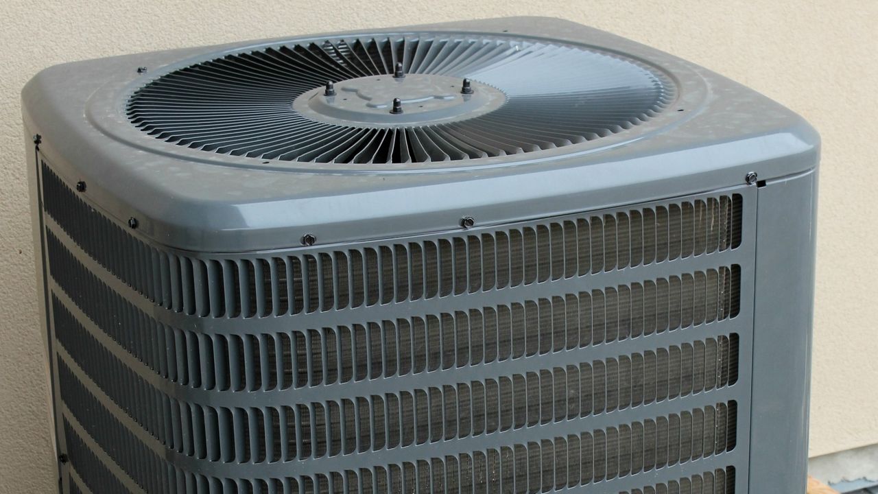
Additionally, sinking air from these ridges will continue to lead to building heat across the state. With the added humidity from the dry seabreeze boundaries moving inland, we can expect heat index values going above 100° each afternoon this week.
Make sure to practice good heat safety by limiting your time outside, drinking plenty of water and dressing with loose-fitted, light colored clothing.
 |
Highs: Low to Mid-90s Lows: Mid-70s Rain Coverage: 20% |
Check your hour-by-hour forecast here | Share your weather photos