


Travel should be ruled out for New Yorkers in higher impact areas of the state, such as the North Country, the Finger Lakes and Western New York, Sunday night into Monday as a winter storm is expected to draw heavy impacts, according to Gov. Kathy Hochul Sunday.
Hochul said the state is preparing to deploy resources as needed throughout the state to regions that may be expected to see upwards of 15 inches of snow overnight and throughout Monday.
This includes ensuring power companies are prepared to quickly dispatch and resolve outages and downed lines, she said. It also includes all available snow and ice equipment, with more than 1,600 large plow trucks, 150 medium duty plows, and 51 tow plows.
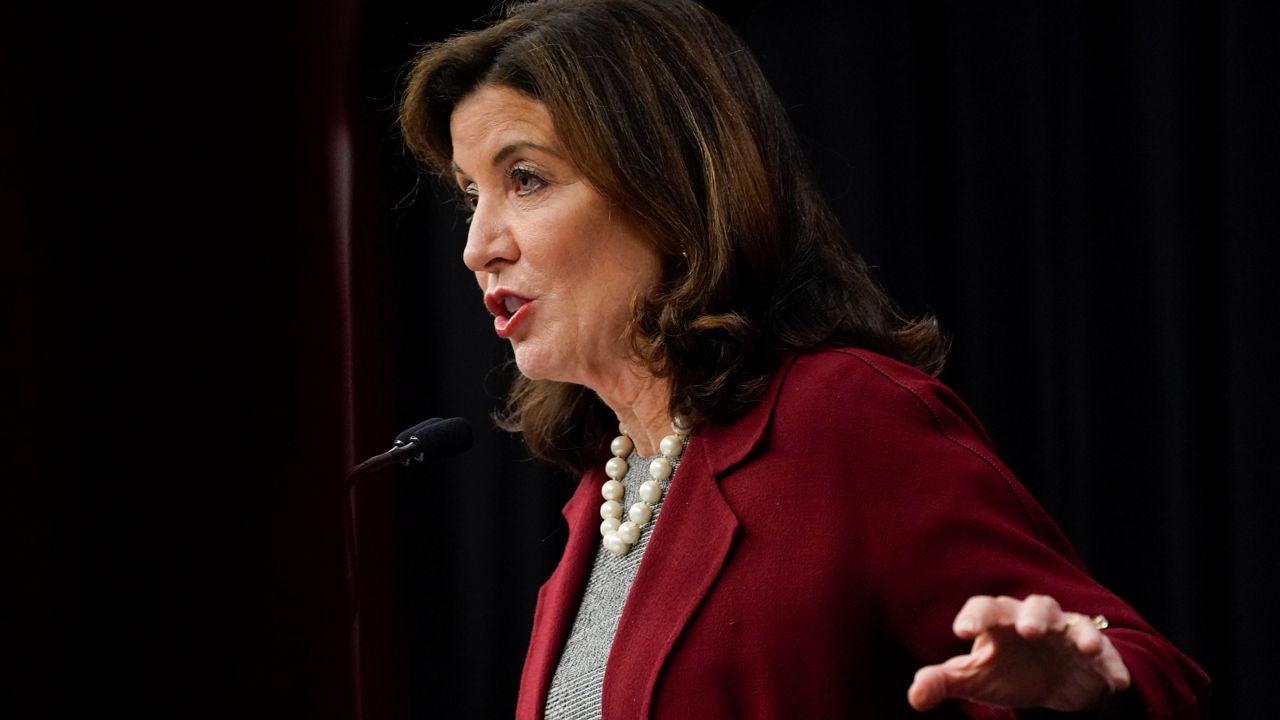
"New York is poised to experience one of the largest storms so far this winter and our crews are out in full force preparing our roadways and staging critical assets," Hochul said in a statement. "With freezing temperatures persisting and heavy snowfall forecasted, I'm urging all New York's to pay close attention to their local forecasts and avoid unnecessary travel throughout the duration of the storm."
Upstate New York could see upwards of 3 inches of snowfall per hour, starting Sunday evening.
Wind gusts could reach as high as 45 mph, producing blowing and drifting snow, Hochul said.
Hochul said Winter Weather warnings and advisories are in effect through Monday night for multiple counties in the Western Western New York, Finger Lakes, Central NY, Southern Tier, North Country, Mohawk Valley, Capital District, and Mid-Hudson regions.
Coastal Flood Warnings are in place, however, for New York City, Long Island, and southern Westchester County through Monday.