


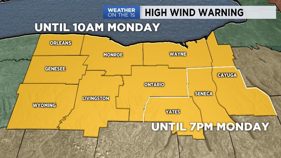
After a high in the 50s on Sunday in Rochester, expect temperatures to dip into the 20s tonight. Gusty, potentially damaging winds will continue overnight into early Monday as well. Sustained winds of 30-40 mph with gusts of 65-75 mph are likely. Additional downed trees, power lines, and power outages are possible. If you must travel, do so with extreme caution. Keep both hands on the steering wheel and take it slow.
On top of the wind, we also have lake effect snow to contend with off of Lake Erie. This will primarily impact Genesee and Wyoming counties. Reduced visibility and occasional whiteout conditions are likely, so travel with extreme caution in these areas overnight and Monday morning.
Winds will gradually start to ease as we go through the day Monday. Outside of a few snow showers expect some partial sunshine. Temperatures will not gain much ground, though. Expect highs to only be in the mid-20s.
A few more snow showers will linger into Tuesday and Wednesday as highs remain in the 20s.
Drier weather is on tap for Thursday. We'll see clouds and limited sunshine as highs recover to around 30.
More messy weather is on tap as we head toward the weekend with increased chances of rain and snow showers. Temperatures by Saturday, however, will get to around 40.
Stay tuned to Spectrum News for updates.