


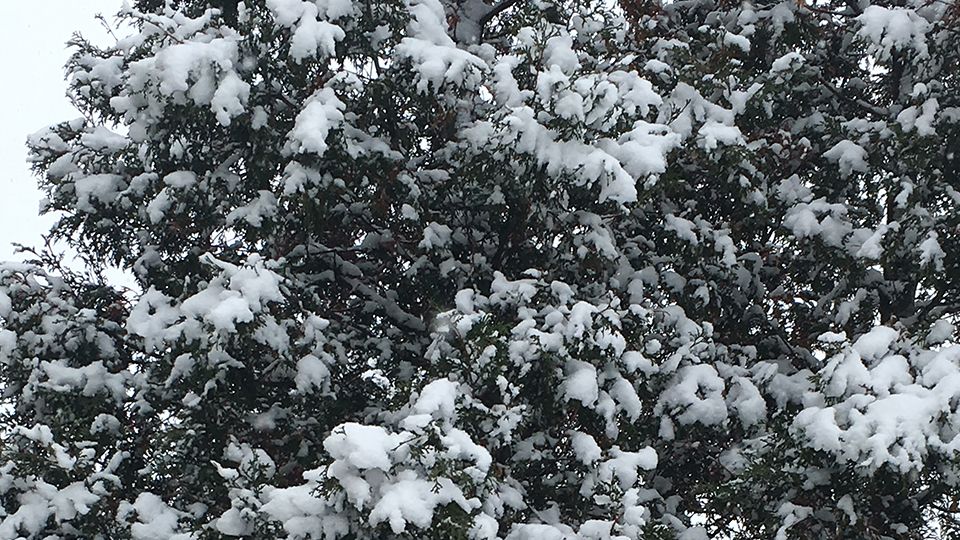
Tonight across the Rochester area, skies will be mostly cloudy with lake effect snow showers. It will be bitterly cold with actual air temperatures in the single digits on either side of zero.
Track the snow anytime with Interactive SkyTracker Doppler Radar!
It will remain bitterly cold on Monday as well as lake effect snow showers taper off toward midday. Temperatures will be in the single digits to around 10. Factoring in a gusty wind of 20-30 mph, wind chill values could drop to as low as -35 in some locations through Monday evening.
We will recover temperature-wise on Tuesday as highs get back up into the mid-20s. Partly sunny skies are expected.
We warm up dramatically, for one day only, on Wednesday. Expect snow and rain showers with a high around 40.
Not to be outdone, snow showers return to the forecast through the end of the week and the weekend. Temperatures will fall back into the teens and 20s.
Stay tuned to Spectrum News for updates.