


A few scattered snow showers will continue on and off tonight with lows in the teens. Accumulations will be minimal but a few slick spots are expected.
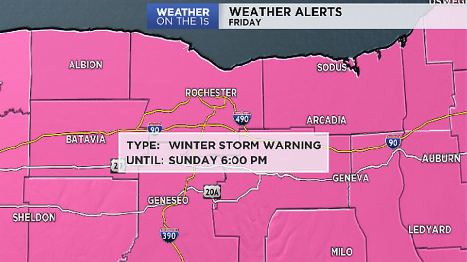
A winter storm will arrive Saturday with flurries and light snow developing by early afternoon. Snow will be fairly light and manageable during the daylight hours. It will be bitterly cold with temps struggling to get back out of the teens and wind chills in the single digits.
Snow will pick up in intensity Saturday evening into the overnight. Winds will become gusty on Sunday with widespread snow tapering by midday.
After starting Sunday in the teens, many will settle into the single digits Sunday afternoon with wind chills well below zero.
Because of the dry nature of the snow, blowing and drifting will be an issue Sunday. By Sunday evening most will pick up 8 to 14” of accumulation with higher amounts into the parts of the Finger Lakes, especially southern Finger Lakes and the Rt. 104 corridor.
Monday will be frigid with highs only in the single digits and wind chills well below zero. Outside a stray snow shower, we’ll pick up some sun.
A warmer system will arrive on Wednesday with chances for more of a mix. Another blast of arctic air will arrive shortly after.
Be safe and enjoy the snow!