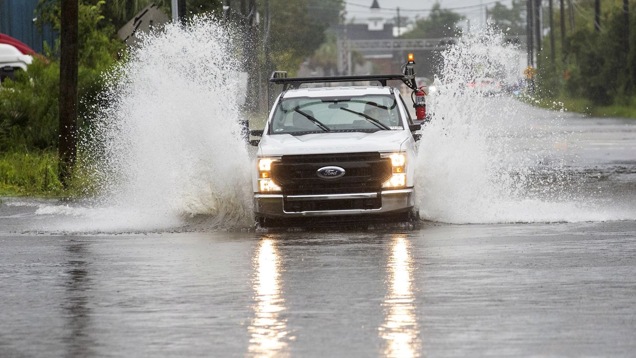
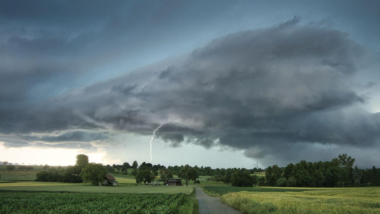
Hurricane Beryl has had quite the journey since its birth, breaking numerous records across the Caribbean. At one point, the storm broke records for the earliest-forming category 4 and category 5 storm on record. After moving through the Gulf of Mexico, it hit the Texas coast line as a category 1 hurricane on Monday.
The remnant low of Beryl will pass just north of us today into tonight, but some of us will still experience impacts.
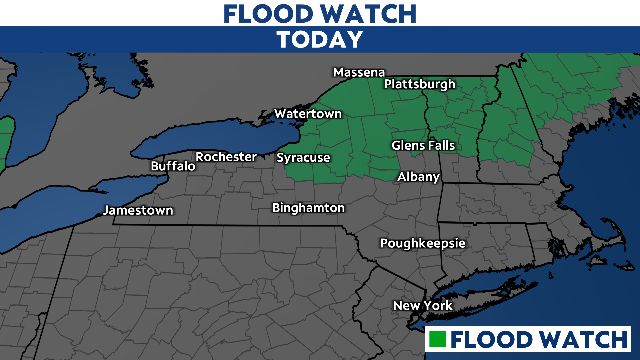
The heaviest rain and flood potential is expected over North-Central New York to the North Country this afternoon and evening. There, several inches of rain is expected to fall by the end of today. Because all of that rain will come down in a short period of time, the risk for flooding is great, prompting flood watches.
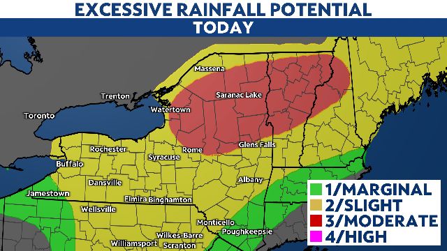
The threat of severe storms will be in the areas of yellow and more so orange, shown below. Damaging wind gusts are the primary threat this afternoon.
A tornado can't be ruled out either. Because of that, we expect a watch box to be issued this afternoon.

These storms will move from west to east across the state starting with Buffalo and Rochester around 2-3 p.m.
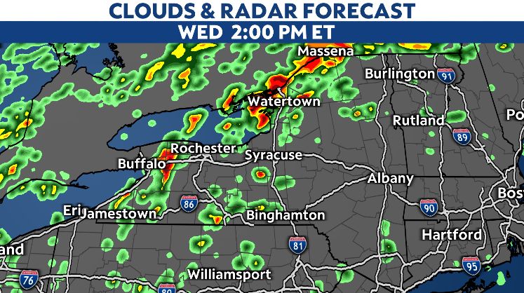
Syracuse and Watertown will see the heaviest rain and wind just hours later. The biggest impacts for any heavy downpours and thunderstorms there will be flash flooding, damaging wind gusts and even tornadic activity.
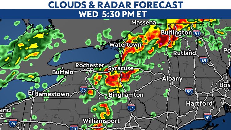
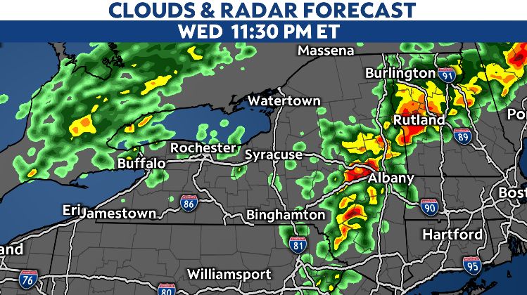
The Capital Region and the Hudson Valley will be last to experience any impacts from the remnants of this storm. There, the risk for severe weather is low however tropical downpours and gusty winds are expected late tonight and into early Thursday.
For continuous updates on this storm, follow our team of Spectrum News meteorologists on-air and online.


