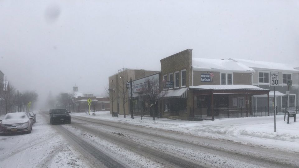
Wind and lake-effect snow will cause difficult travel conditions today for Buffalo and Watertown areas. Rochester to Syracuse can expect to see some impacts Friday morning.
What You Need To Know
- Lake-effect snow continues today from Buffalo to near Rochester
- An arctic front arrives Friday morning, shifting the snow bands south
- Wind chills in the teens today will fall to near zero tomorrow
It took a little while to get going, but the bands of lake-effect snow have developed for today. Outside of the narrow bands of lake-effect snow it will be cold and blustery with a few flurries.
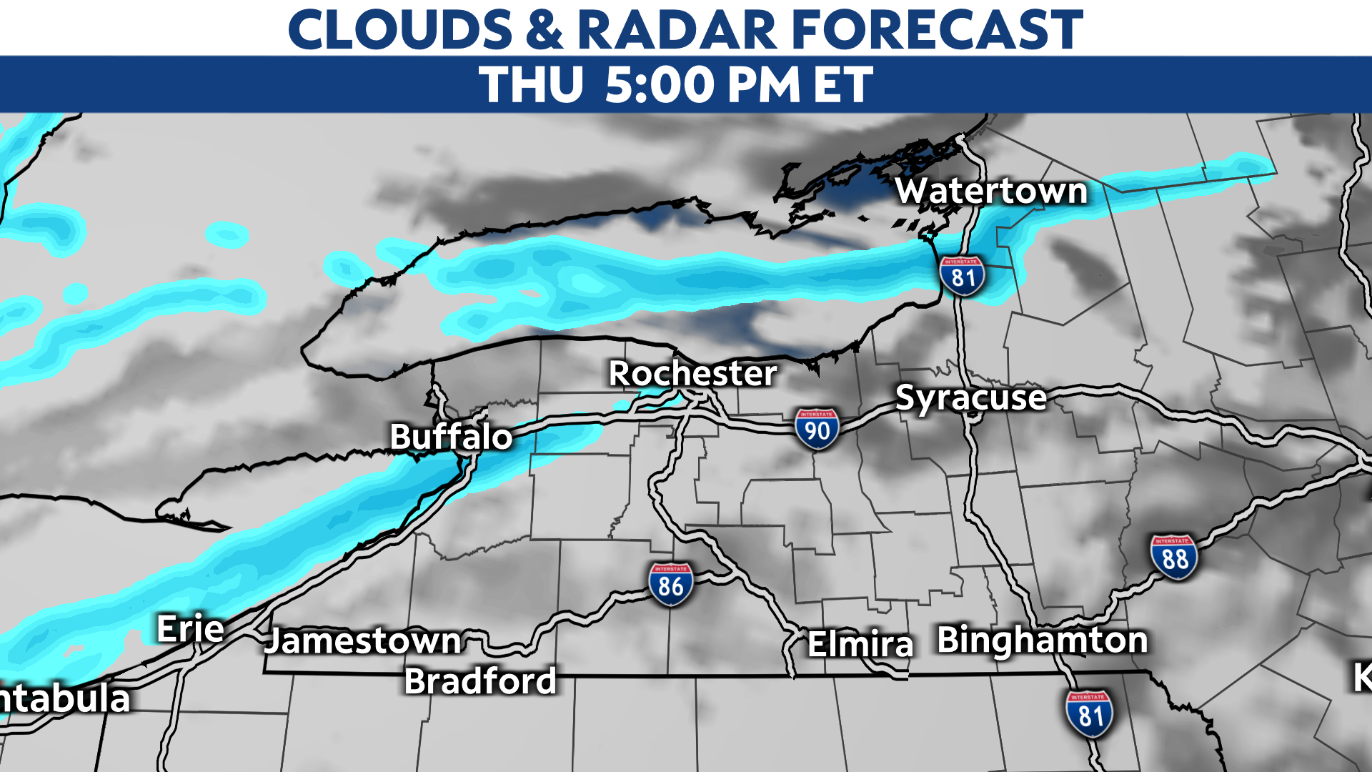
A wind shift Friday morning with the arctic front pushes the Lake Ontario band to communities along the south shore.

The greatest travel impacts will be today through Friday in the lake-effect areas.
With lake-effect snow, the amount of snow you see in your neighborhood is highly variable. Subtle wind shifts can send the band a few miles north and south.
With the strong winds, it will be tough to measure the amount of snow. Where the band persists the longest, a foot or more of snow can occur. Strong winds will continue to cause blowing and drifting.
Here's the potential snow accumulations from Buffalo to Rochester by this evening:
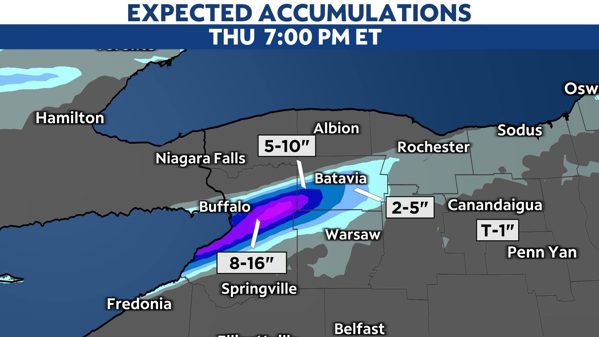
With the wind shifting to the northwest, a quick couple of inches is expected Friday morning all along the south shore of Lake Ontario. This is what the totals should look like at noon Friday and includes what was already in the map above; the Buffalo area will see most of its accumulation done by midnight Thursday night.

Off Lake Ontario, this is the snowfall forecast for the Watertown area:
With temperatures falling into the teens, the snow will be lighter in weight and easily blown by wind gusts reaching up to 40 mph.
The strong winds today will blow stronger tomorrow and make it feel close to zero at times.

Be prepared for rapidly changing weather and travel conditions within the band.
Calmer and warmer weather arrives for Saturday.


